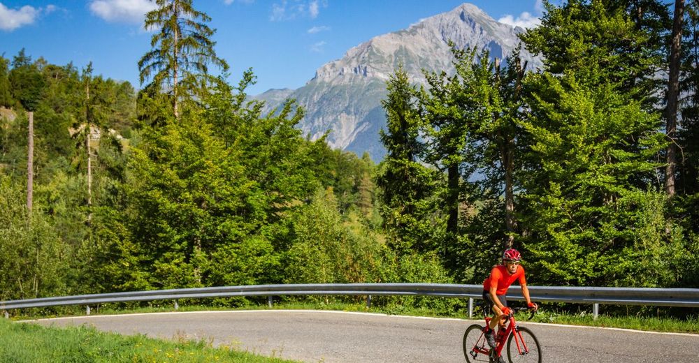
© Valais/Wallis Promotion - Alain Rumpf
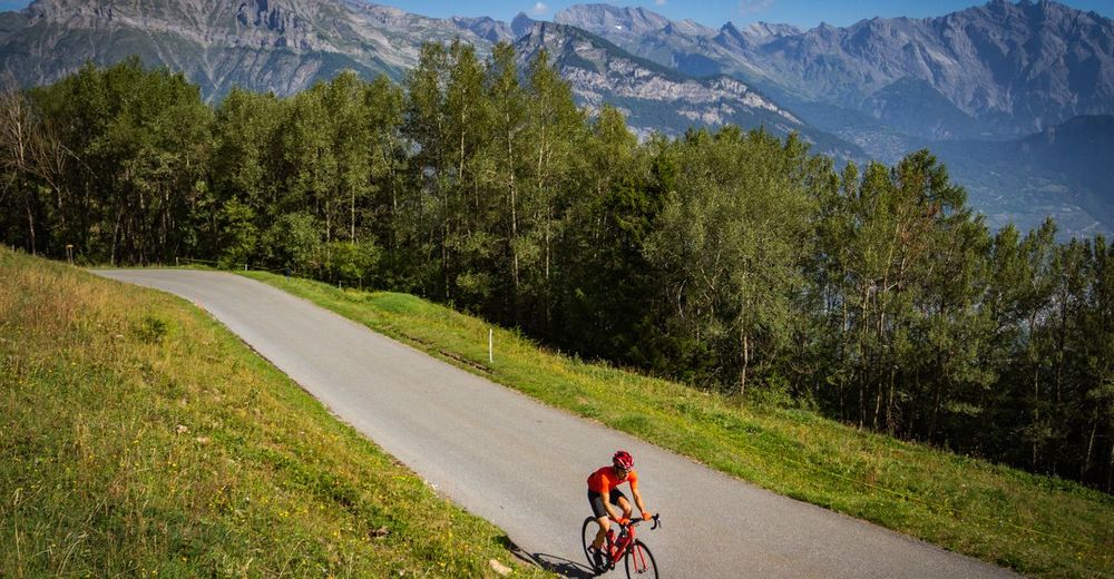
© Valais/Wallis Promotion - Alain Rumpf

- Stručný popis
-
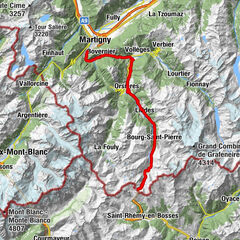
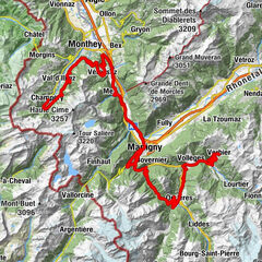
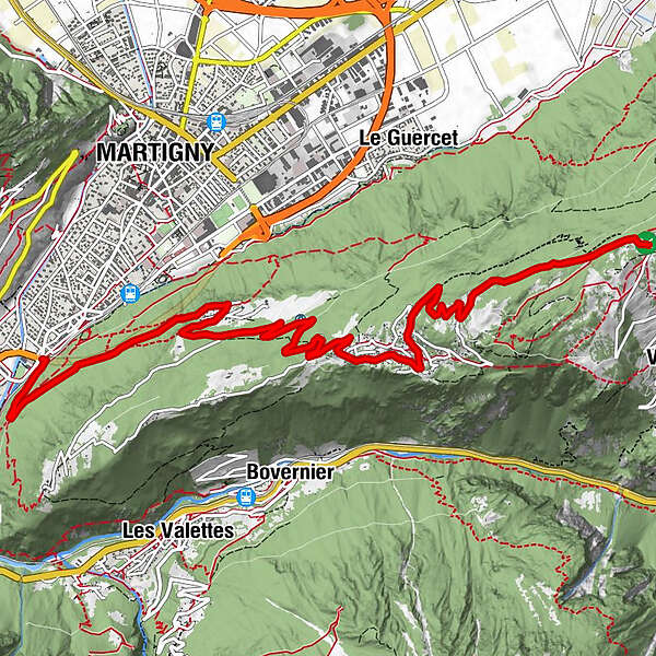
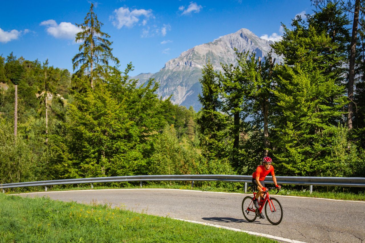
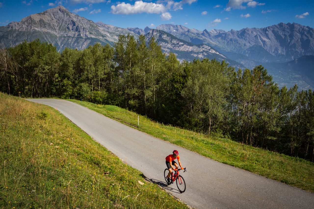
The ten kilometres between Martigny-Bourg and the summit of the Col des Planches are among the steepest in the region, with some sections reaching a gradient of 15%!
- Obtiažnosť
-
stredná
- Hodnotenie
-
- Trasa
-
Martigny2,2 kmChemin Dessous2,6 kmChemin Dessus6,3 km
- Najlepšia sezóna (ročné obdobie)
-
janfebmaraprmájjúnjúlaugsepoktnovdec
- Najvyšší bod
- 1.405 m
- Cieľová destinácia
-
Col des Planches
- Profil nadmorskej výšky
-
 © outdooractive.com
- Autor
-
Prehliadka Col des Planches – Legendary Mountain Passes používa outdooractive.com na stránke ..
GPS Downloads


Všeobecné informácie
Zastávka s občerstvením
Kultúra/Historické stránky
Flora
S výhľadmi
Ďalšie prehliadky v regiónoch
-
Alpes Vaudoises
103
-
Trient-Tal / Wallis
33
-
Bovernier
17