


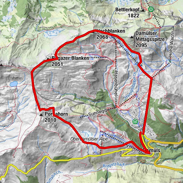
Údaje o túre
11,9km
1.370
- 2.037m
791hm
03:00h
- Stručný popis
-
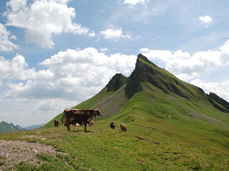
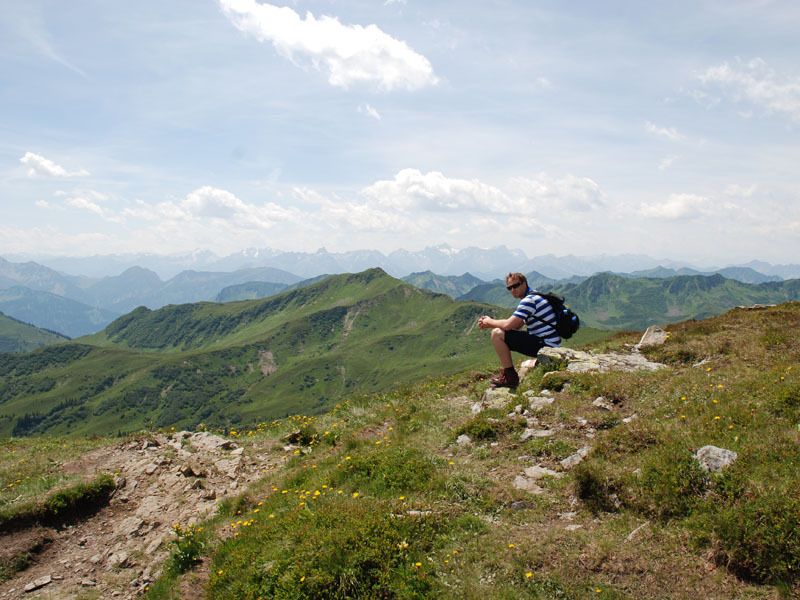
Tagestour für Wanderer mit durchschnittlicher Kondition.
- Hodnotenie
-
- Východisko
-
Uga Talstation
- Trasa
-
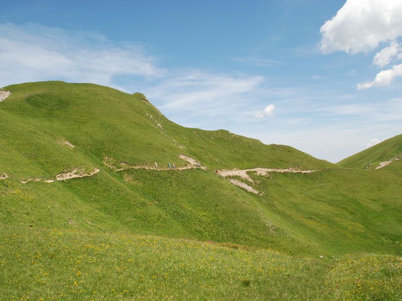
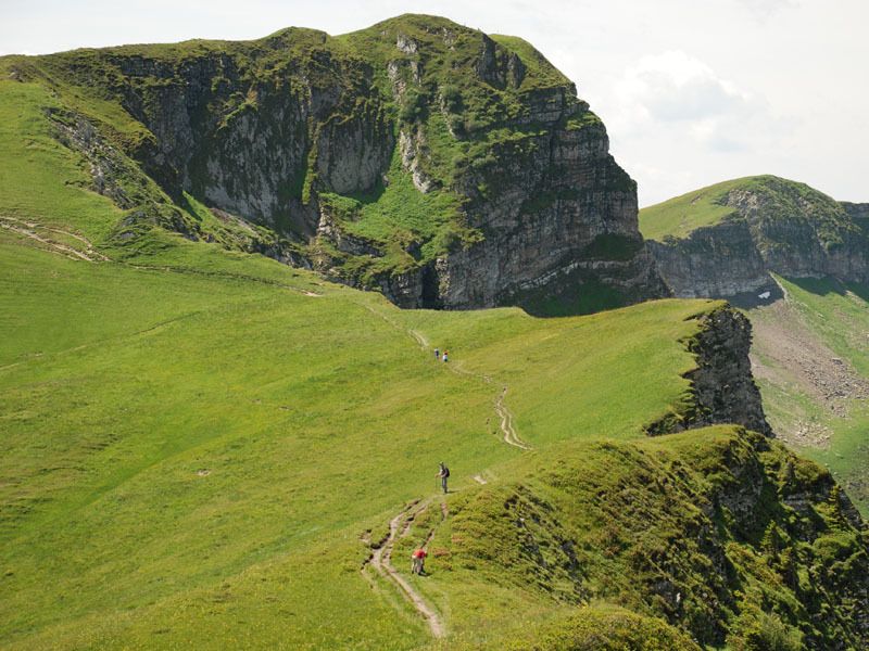
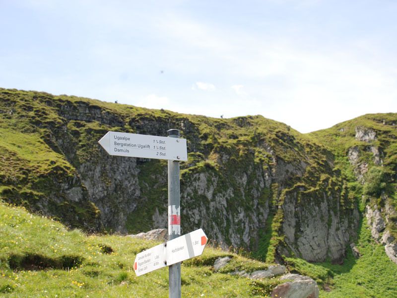
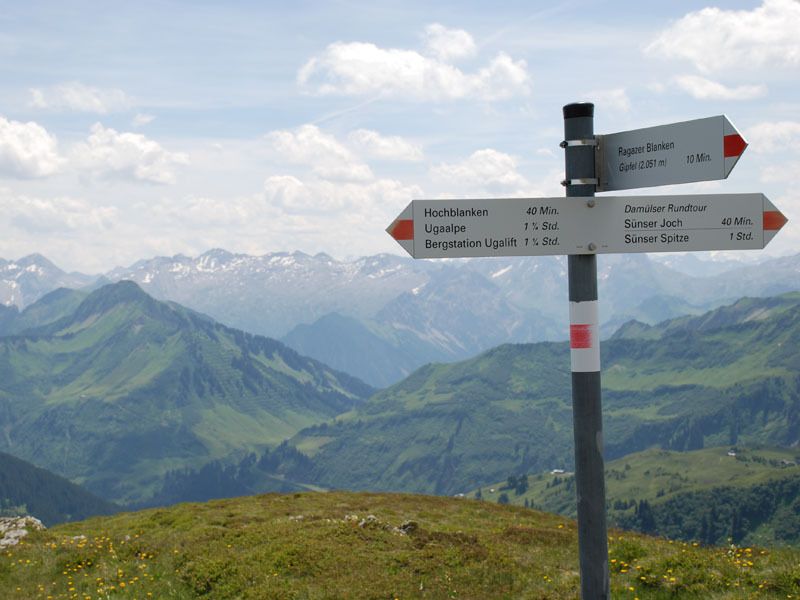
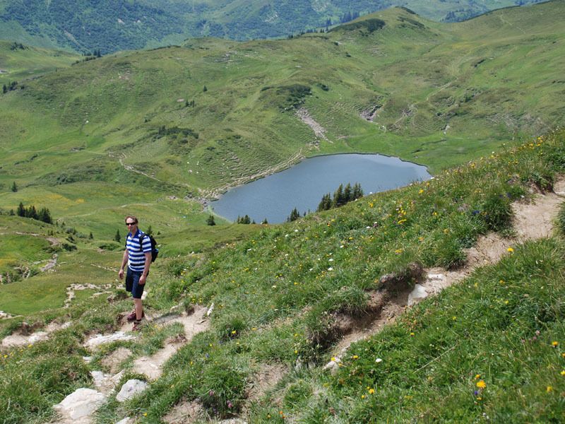
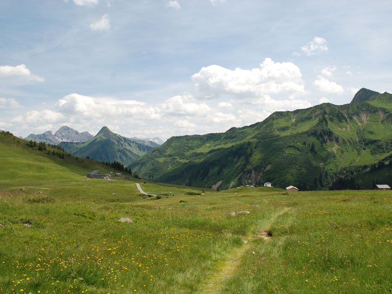
Pizzeria da Ingo0,1 kmVordere Ugaalpe0,3 kmElsenalpstube1,6 kmUga-Express1,6 kmHohes Licht (2.003 m)3,3 kmHochblanken (2.068 m)3,8 kmRagaz (2.031 m)5,3 kmRagazer Blanken (2.051 m)5,6 kmAlpe Oberdamüls9,4 kmFurka9,7 kmPfarrkirche Hl. Nikolaus11,2 kmDamüls (1.423 m)11,2 km
- Najvyšší bod
- 2.037 m
- Zvyšok/Ústup
-
gleich zu Beginn der Tour - Berggasthof Elsenalpstube & Berggasthof Uga Alp
Am Ende der Tour - Oberdamülser Alpe und Alpenstern - Mapy
-
Madlener Sport, Tourismusbüro Damüls, Damülser Seilbahnen

GPS Downloads


Podmienky na trase
Asfalt
Štrk
Lúka
Les
Skala
Exponovaný
Ďalšie prehliadky v regiónoch
-
St. Gallen - Bodensee
2067
-
Biosphärenpark Großes Walsertal
2011
-
Damüls
578


