© Warth-Schröcken Tourismus - Sebastian Stiphout

© Warth-Schröcken Tourismus - Sarah Albrich

- Stručný popis
-
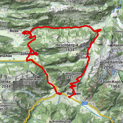
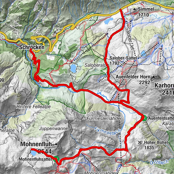
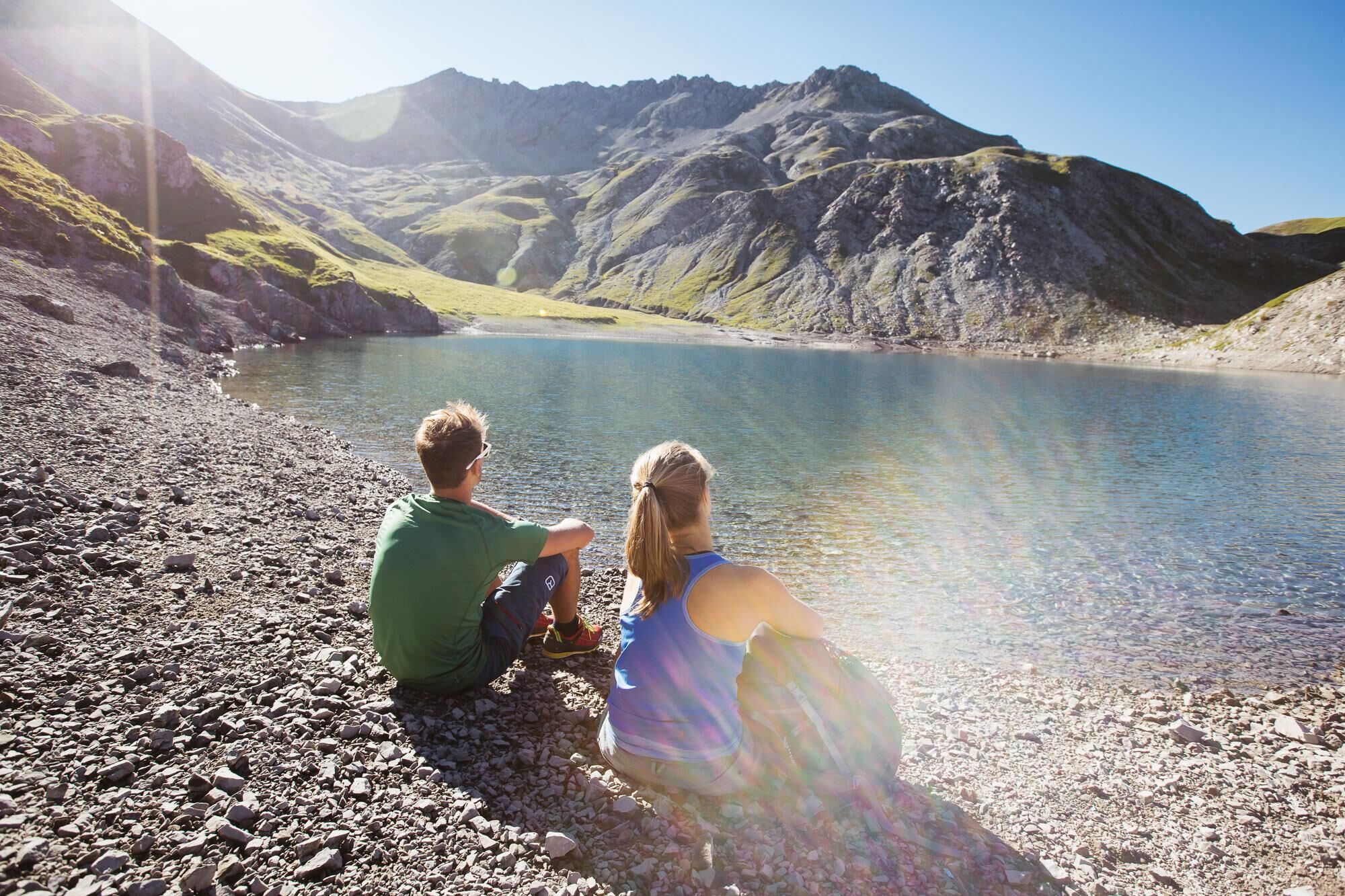
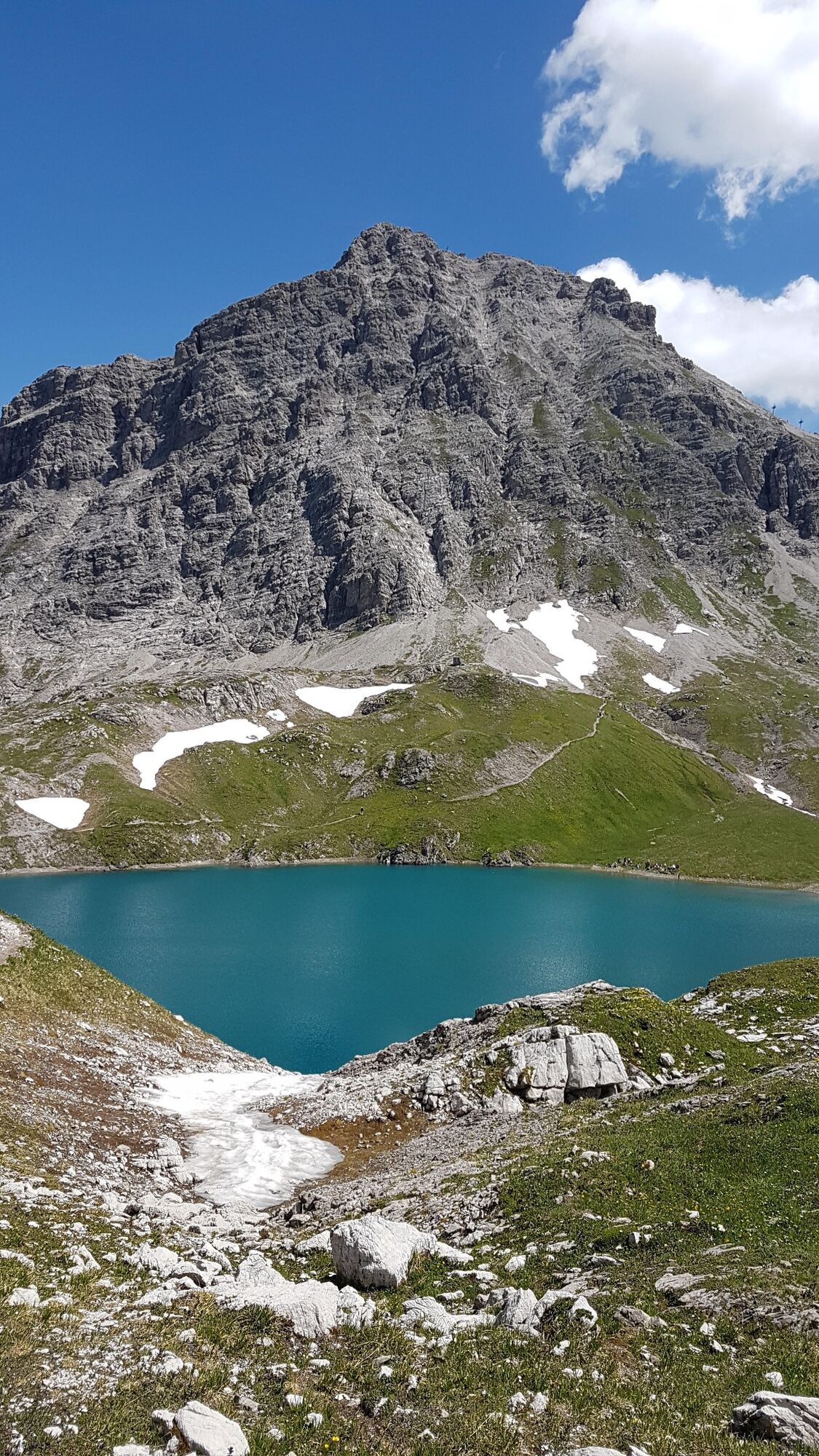
From the Hochtannbergpass, a wide gravel road leads you over the Salobersattel in Auenfeld. At the Auenfelder Hütte you pass the Auenfeldsattel to the Geisbühel Alpe. On foot it goes right over the Mohnensattel to the Butzensee. Back to the Auenfeld follow the same path. Just take a short rest at the Auenfelder Hütte before the path leads to Schröcken.
The tour can of course also be started in Schröcken.
You can also start in Warth. Here the tour then runs over the Alte Salzstraße and on to the Hochtannbergpass.
- Obtiažnosť
-
ťažká
- Hodnotenie
-
- Trasa
-
Alpekörb0,2 kmSB-Restaurant Salober0,3 kmS10,4 kmSalober-Sattel (1.792 m)1,7 kmAuenfelder Hütte2,7 kmUntere Auenfeldalpe4,0 kmUntere Auenfeldalpe16,0 kmMaterialseilbahn Körbersee21,2 kmSchröcken (1.269 m)21,3 km
- Najlepšia sezóna (ročné obdobie)
-
janfebmaraprmájjúnjúlaugsepoktnovdec
- Najvyšší bod
- 2.305 m
- Cieľová destinácia
-
Hochtannbergpass/Village square Schröcken
- Profil nadmorskej výšky
-

-

-
AutorPrehliadka Bike & Hike Butzensee používa outdooractive.com na stránke ..
GPS Downloads


Všeobecné informácie
Zasvätený tip
S výhľadmi
Ďalšie prehliadky v regiónoch