© Tourismusverein Gitschberg Jochtal

- Stručný popis
-
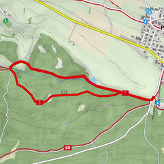
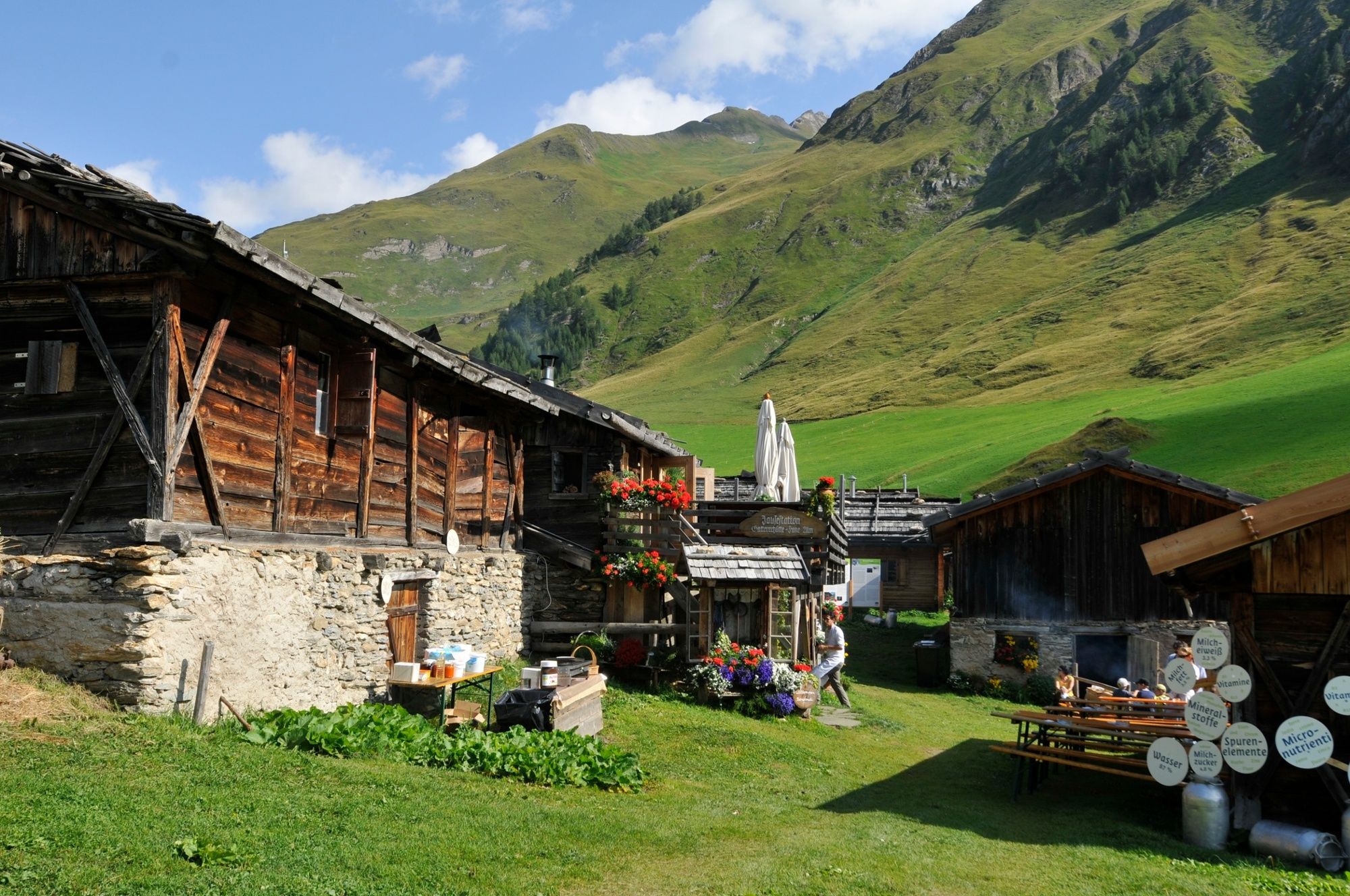
Impressive facts within an impressive landscape. Everything about the South Tyrolean milk industry. On this educational walk to Fane Alm alpine pasture, the information boards along the route are presented as cows or goats, once as a hay bale, always extremely original and matching the topic.
- Trasa
-
Fane Alm (1.739 m)3,0 kmFanekapelle3,0 kmGattererhütte3,0 kmJausenstation Zingerlehütte3,0 km
- Najvyšší bod
- 1.738 m
- Cieľová destinácia
-
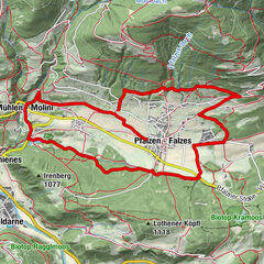
Parking lot at the end of the Valsertal Valley (1,396m)
- Profil nadmorskej výšky
-
 © outdooractive.com
- Autor
-
Prehliadka South Tyrolean Milk Trail in Valles/Vals používa outdooractive.com na stránke ..
GPS Downloads


Ďalšie prehliadky v regiónoch
-
Brixen und Umgebung
1976
-
Gitschberg - Jochtal
672
-
Vals
129
")