


- Stručný popis
-
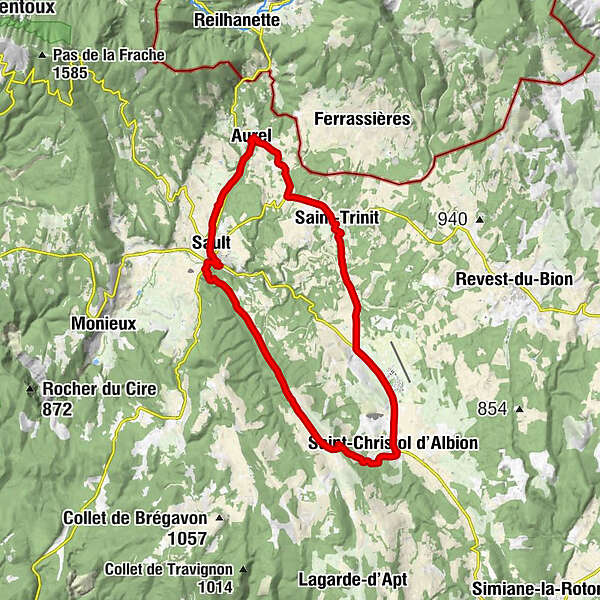
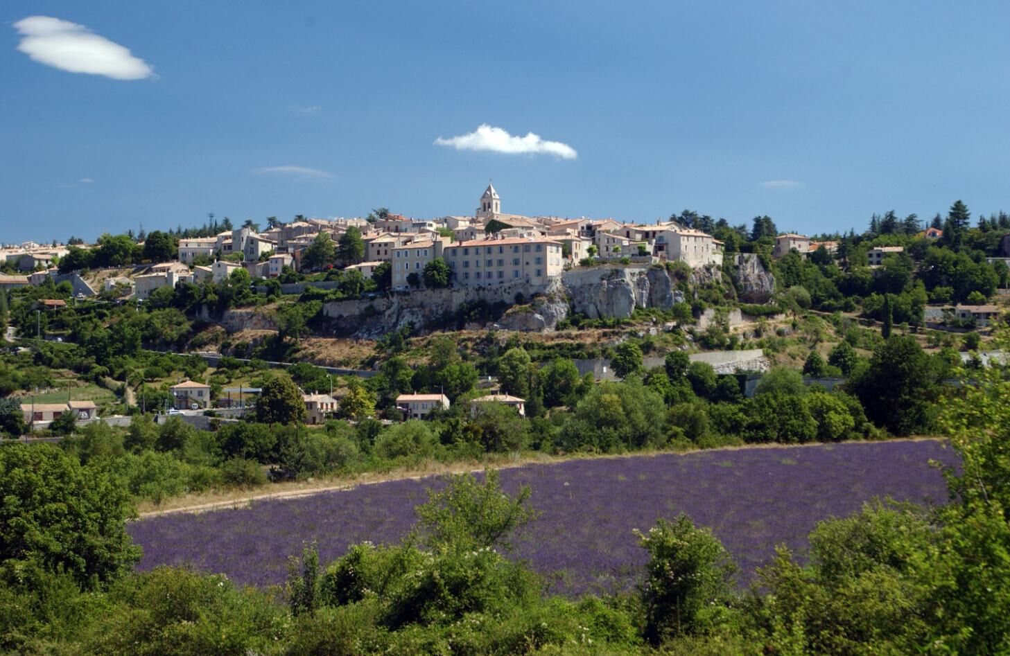
Distance 20,5 miles - average level - marked circuit - departure/parking place de la Promenade at Sault.
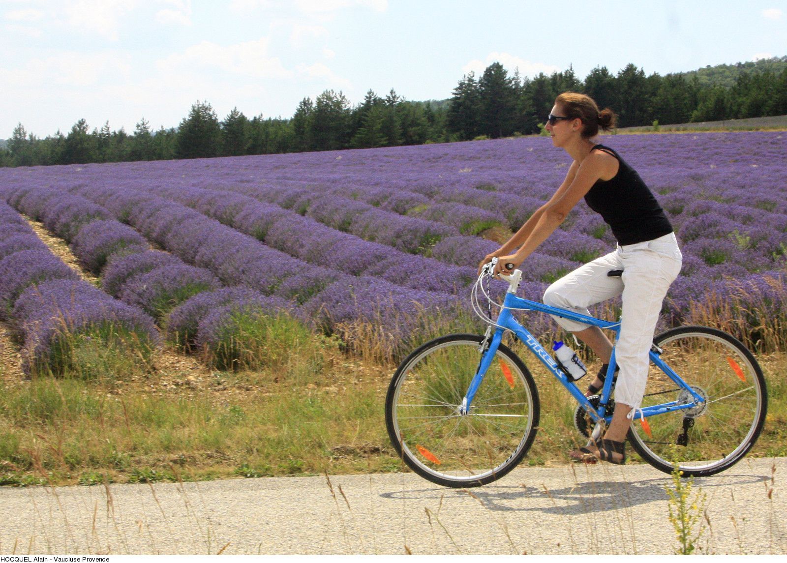
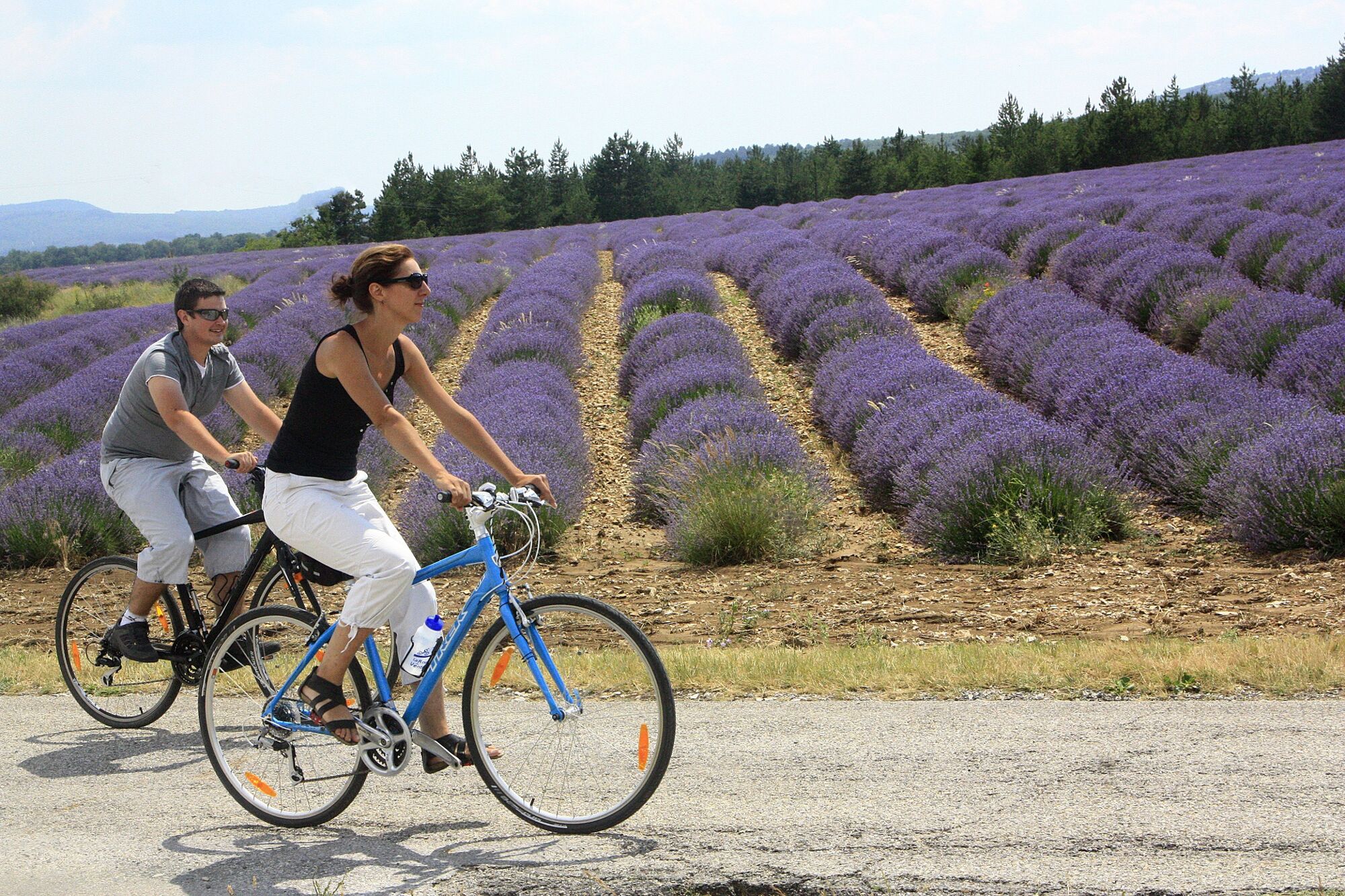
The vast Sault highlands, the splendid views over Mont Ventoux and Lure mountain, the fields of lavender and spelt. - Obtiažnosť
-
stredná
- Hodnotenie
-
- Trasa
-
Sault0,0 kmRelais du Ventoux4,7 kmAurel4,7 kmÉglise Saint-Aurèle5,0 kmSaint-Trinit10,2 kmBistrot de pays10,2 kmLa Palombiere18,6 kmSaint-Christol d'Albion19,1 kmSault32,6 km
- Najlepšia sezóna (ročné obdobie)
-
janfebmaraprmájjúnjúlaugsepoktnovdec
- Najvyšší bod
- 1.011 m
- Cieľová destinácia
-
Sault
- Profil nadmorskej výšky
-
 © outdooractive.com
- Autor
-
Prehliadka 23 - The Plateau de Sault by bike používa outdooractive.com na stránke ..
GPS Downloads


Ďalšie prehliadky v regiónoch
-
Vaucluse
39
-
Ventoux Sud
20