Grubengelände Littfeld- Former quarry area east of Kreuztal-Littfeld


© Unbekannt - Ursula Siebel

© Arbeitsgemeinschaft Biologischer Umweltschutz im Kreis Soest e.V - Natalia Jaworski
Údaje o túre
7,02km
374
- 541m
182hm
182hm
01:57h

- Stručný popis
-
Only a few plant species can tolerate a high metal content in the soil. Such survivalists flourish at the former mining area near Littfeld. Here, centuries of iron ore mining took place.
- Obtiažnosť
-
stredná
- Hodnotenie
-
- Trasa
-
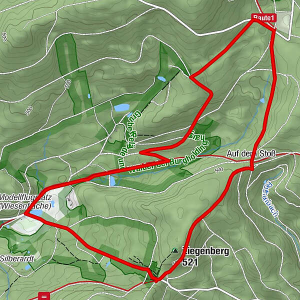
Ziegenberg (521 m)0,3 kmAuf dem Stoß1,3 km
- Najlepšia sezóna (ročné obdobie)
-
janfebmaraprmájjúnjúlaugsepoktnovdec
- Najvyšší bod
- 541 m
- Cieľová destinácia
-
Hiking car park on the Altenberg between Müsen and Littfeld
- Profil nadmorskej výšky
-
 © outdooractive.com


- Autor
-
Prehliadka Grubengelände Littfeld- Former quarry area east of Kreuztal-Littfeld používa outdooractive.com na stránke ..
GPS Downloads


Všeobecné informácie
Kultúra/Historické stránky
Flora
Ďalšie prehliadky v regiónoch