© Region Villach - Faaker See - Ossiacher See - Gerhard Hohenwarter

© Region Villach - Faaker See - Ossiacher See - Martin Hofmann

© Region Villach - Faaker See - Ossiacher See - Adrian Hipp

© Region Villach - Faaker See - Ossiacher See - Leitner

© Region Villach - Faaker See - Ossiacher See - Gerhard Hohenwarter

© Region Villach - Faaker See - Ossiacher See - Gerhard Hohenwarter

- Stručný popis
-
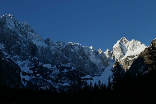
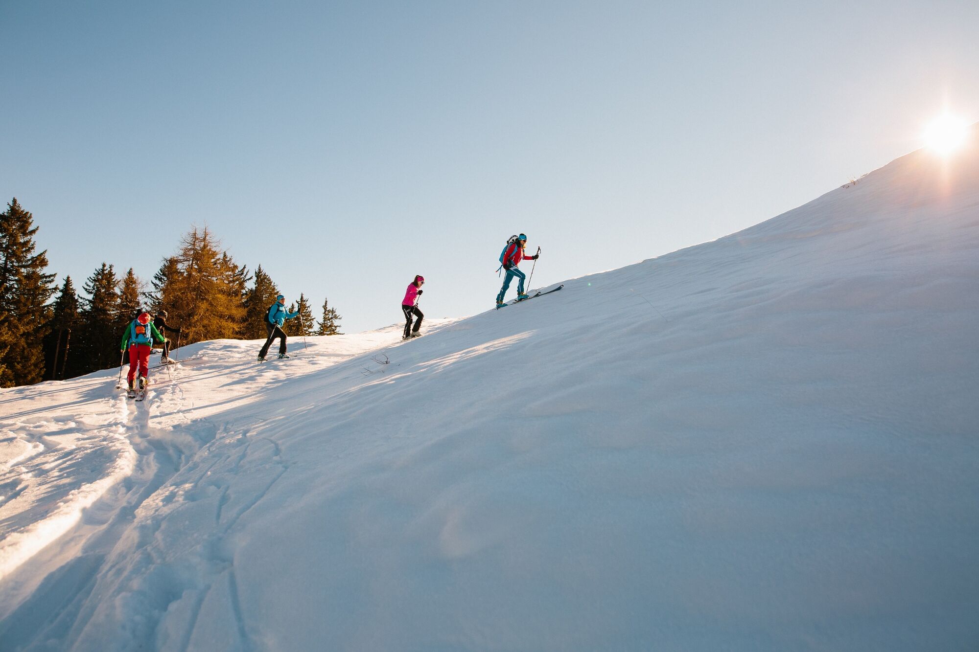
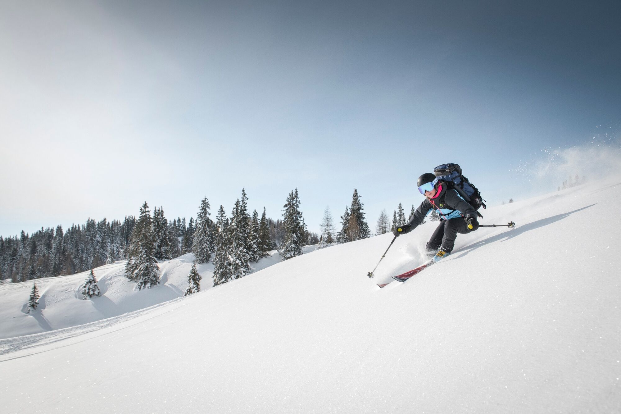
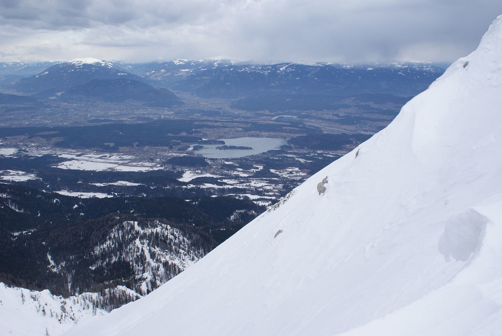
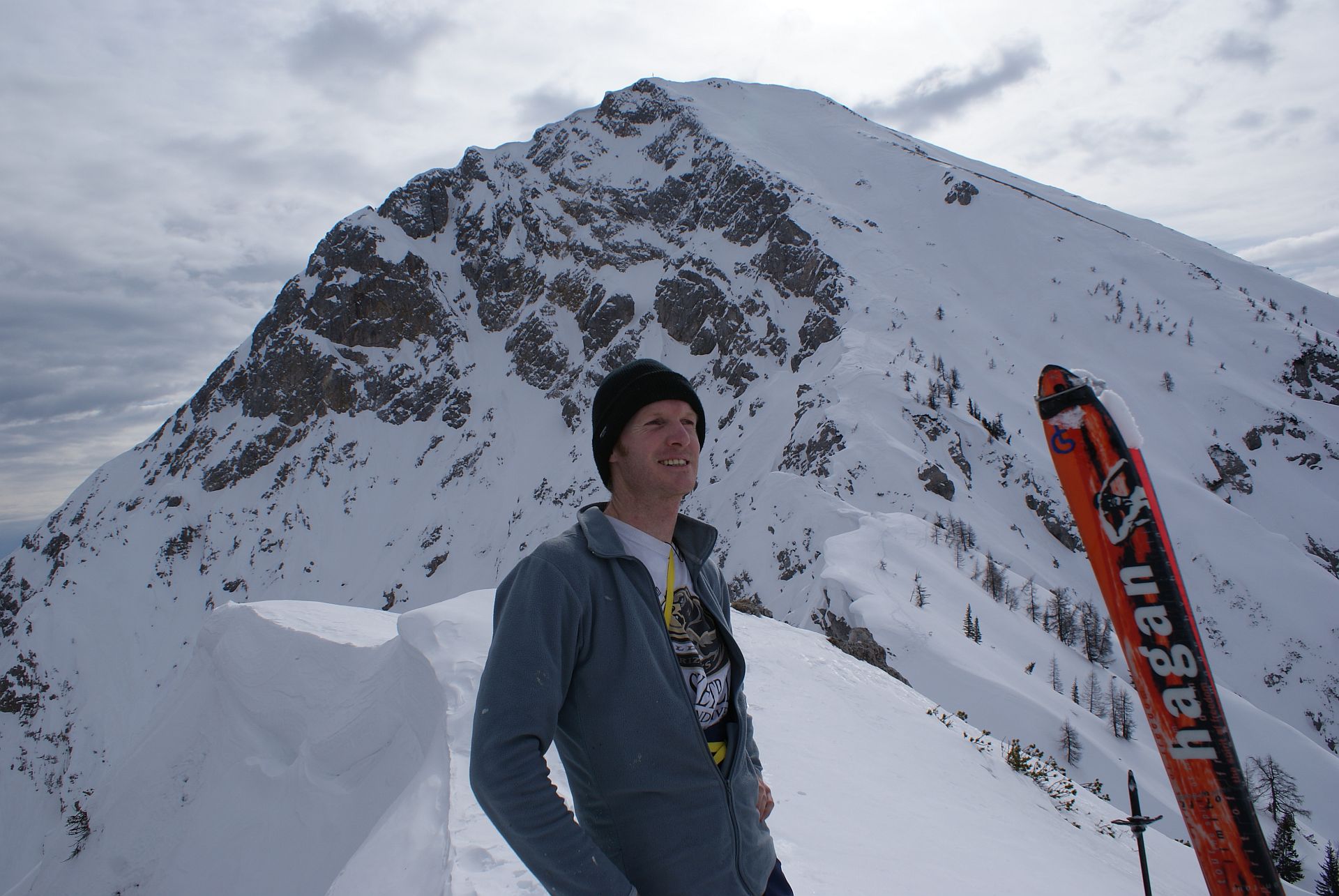
At first it goes unspectacularly higher through the forest, before you suddenly stand in the steep channel system under the Kleiner Mittagskogel. The exposed crossing into the Mittagskogel west flank is only for experienced ski tourers with a good head for heights. The west flank is not very long but simply beautiful.
- Obtiažnosť
-
ťažká
- Hodnotenie
-
- Trasa
-
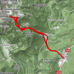
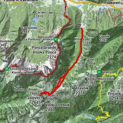
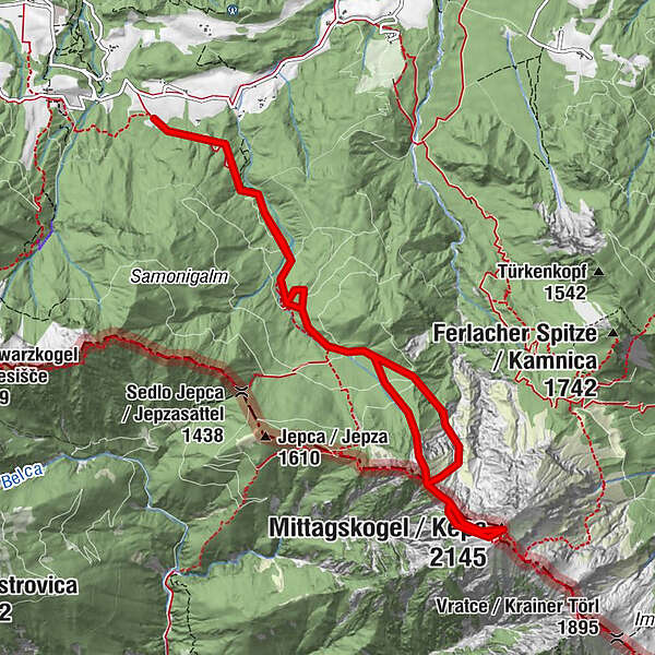
Mittagskogel (2.145 m)5,7 km
- Najlepšia sezóna (ročné obdobie)
-
augsepoktnovdecjanfebmaraprmájjúnjúl
- Najvyšší bod
- 2.107 m
- Cieľová destinácia
-
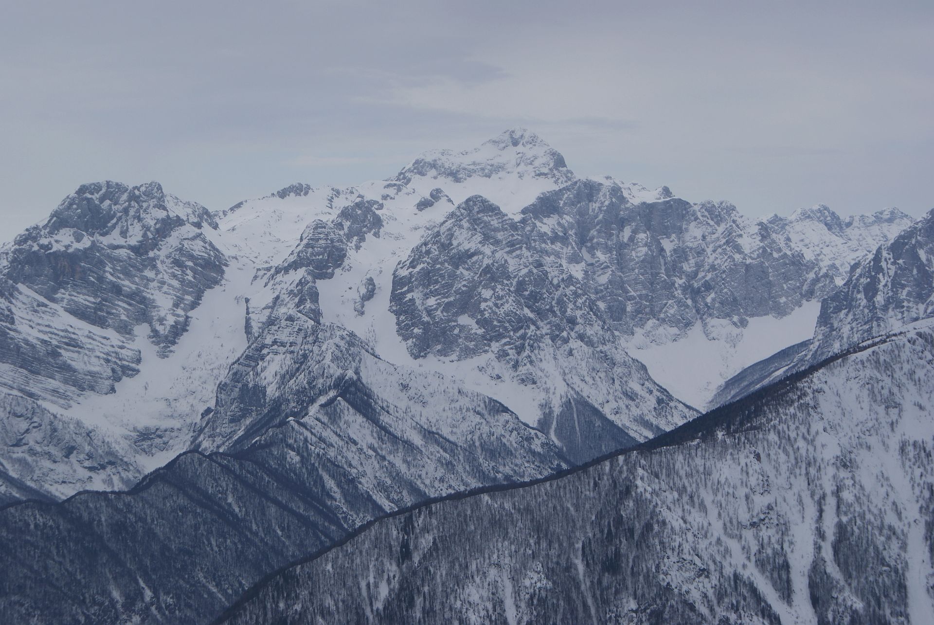
Mittagskogel
- Exposition
- Profil nadmorskej výšky
-

- Autor
-
Prehliadka Mittagskogel Western Ascent používa outdooractive.com na stránke ..
GPS Downloads


Všeobecné informácie
S výhľadmi
Ďalšie prehliadky v regiónoch