
© TD Bohinjska Bela
© TD Bohinjska Bela
© TD Bohinjska Bela
© TD Bohinjska Bela
© TD Bohinjska Bela


- Stručný popis
-
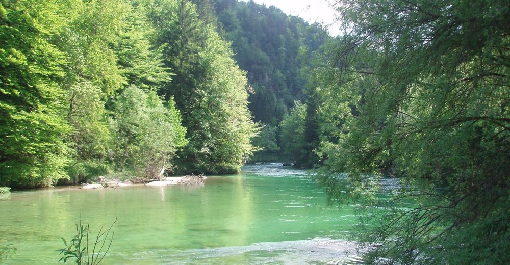
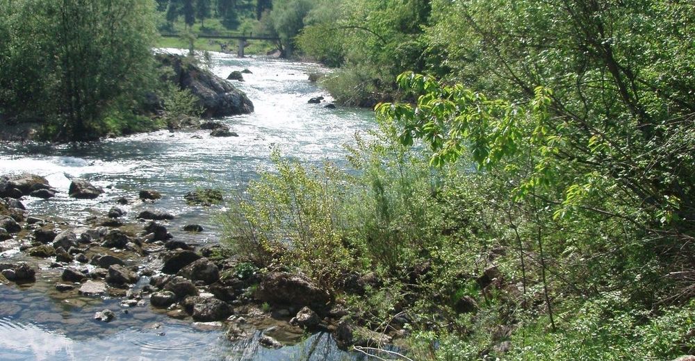
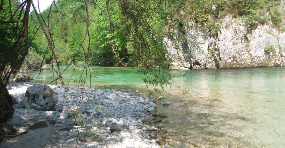
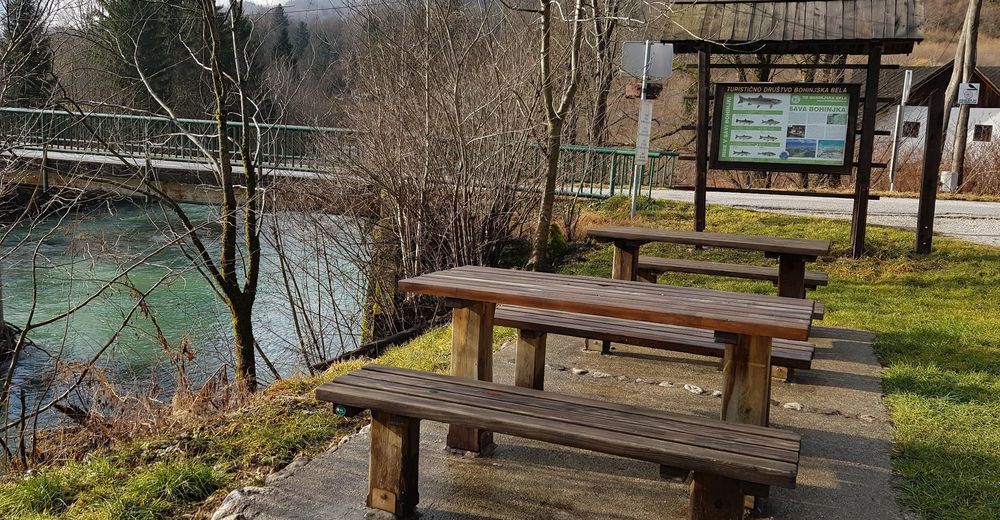
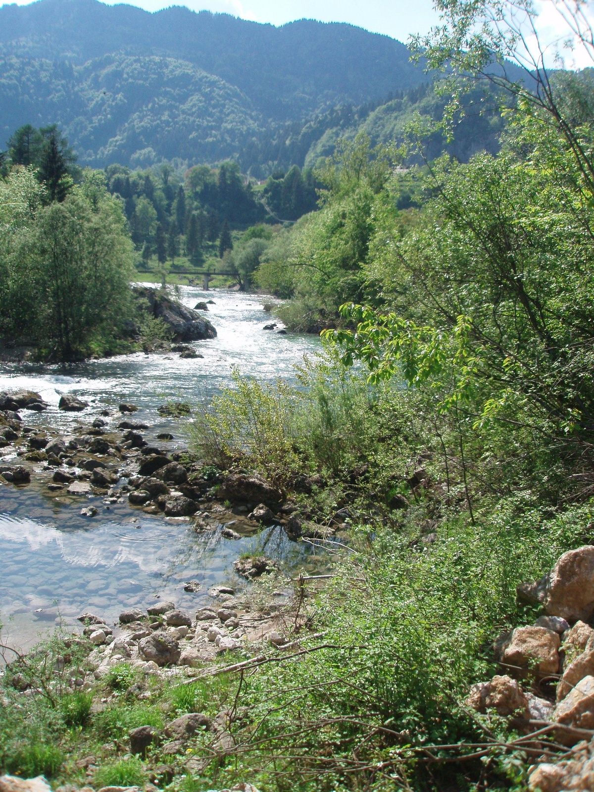
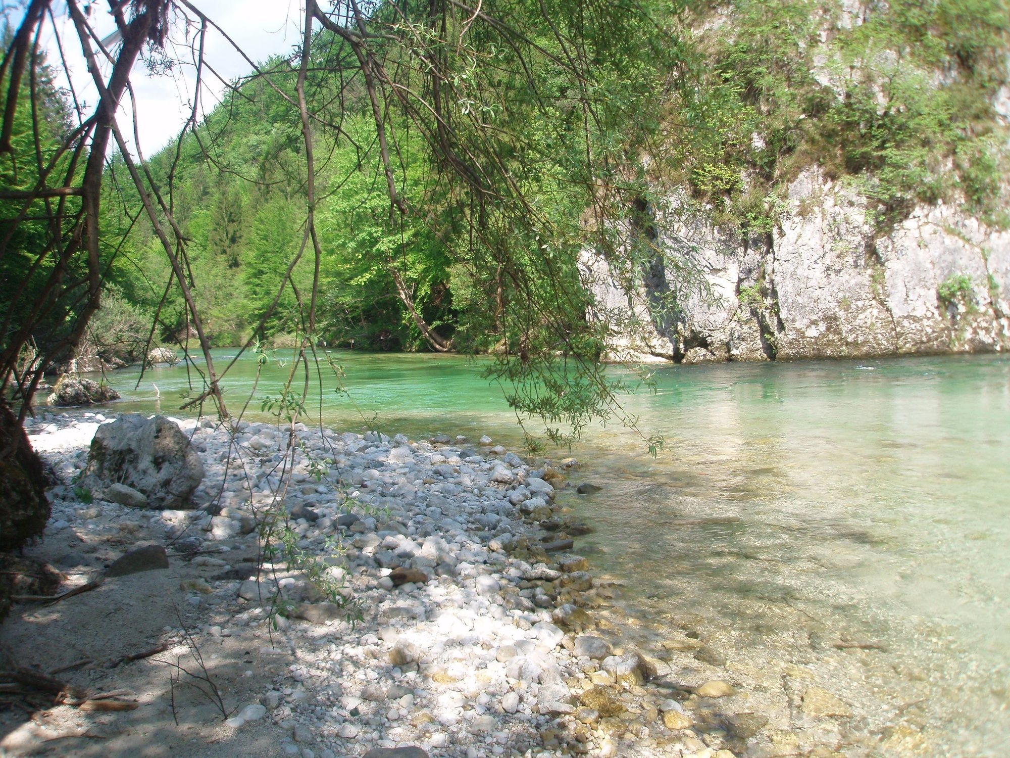
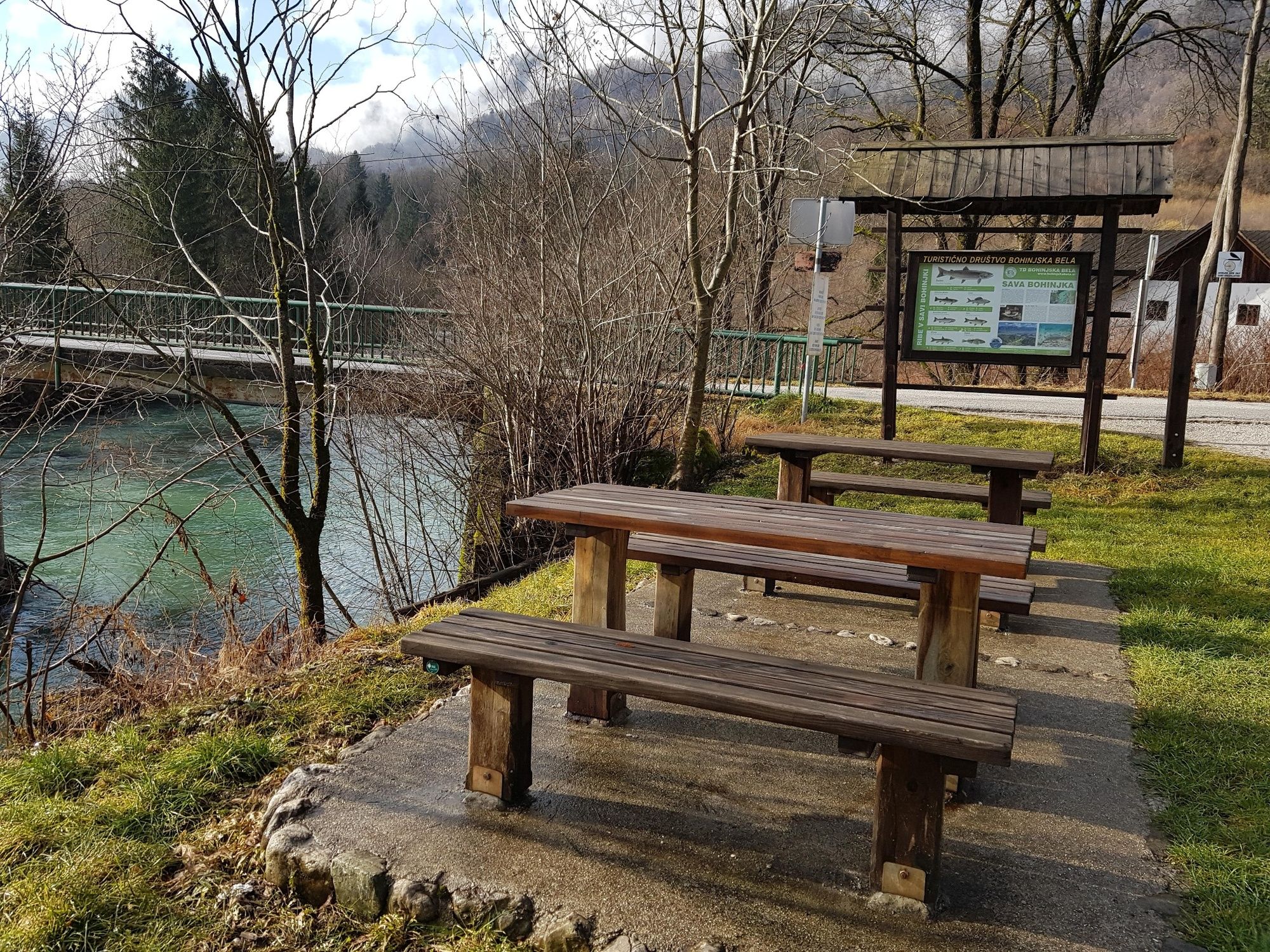
This is an easy walking path and combines two different aspects of the trail. The first part follows the Roja brook, and the second part follows the stream of the Sava Bohinjka River across the meadows in unspoiled nature.
- Obtiažnosť
-
ľahká
- Hodnotenie
-
- Trasa
-
Bohinjska Bela3,1 km
- Najlepšia sezóna (ročné obdobie)
-
janfebmaraprmájjúnjúlaugsepoktnovdec
- Najvyšší bod
- 483 m
- Cieľová destinácia
-
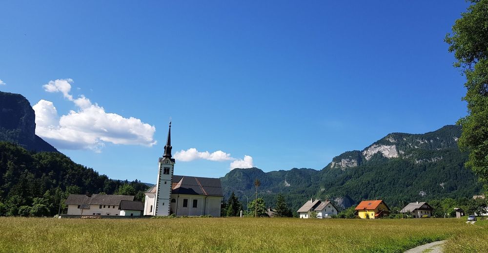
Heart of the village of Bohinjska Bela (488m).
- Profil nadmorskej výšky
-
 © outdooractive.com


- Autor
-
Prehliadka Podroje – along the Sava River používa outdooractive.com na stránke ..
GPS Downloads


Všeobecné informácie
Liečivé podnebie
Flora
Fauna
S výhľadmi
Ďalšie prehliadky v regiónoch
-
Wörthersee - Rosental
1957
-
Gorenjska
141
-
Bled
211


