Údaje o túre
7,35km
717
- 734m
7hm
8hm
01:15h
- Stručný popis
-
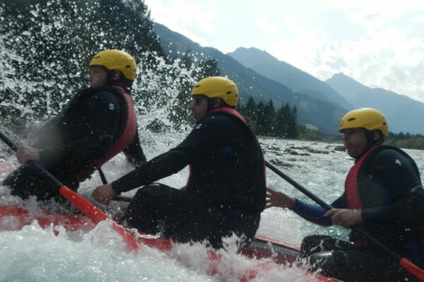
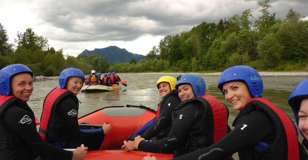
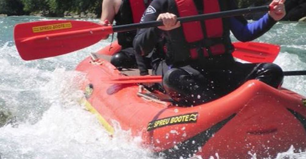
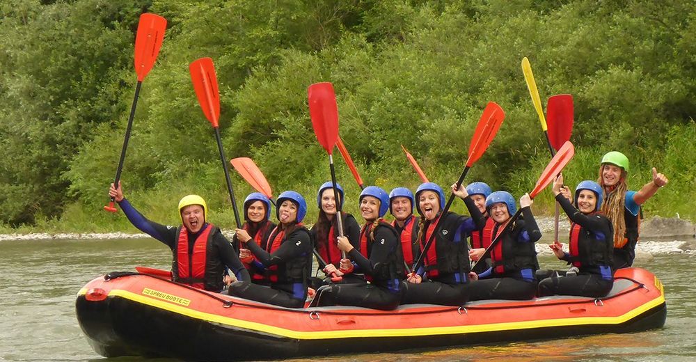
Rafting auf der unteren Iller ist ein rießen Spaß für Familien und schwache Schwimmer. In stabilen Rafting Booten reiten wir über die lustigen Wellen und können und passenden Stellen im Wasser treiben lassen. Zwischen den Wellen und Strömungen bleibt Zeit für Wasserschlacht und lustige Spiele auf dem Boot.
- Obtiažnosť
-
ľahká
- Hodnotenie
-
- Východisko
-
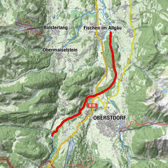
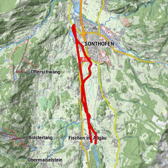
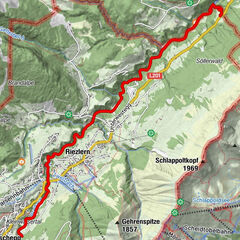
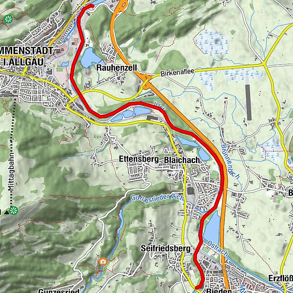
Marienbrücke in Sonthofen/Bihlerdorf
- Trasa
-
Bihlerdorf0,4 kmBlaichach2,7 kmHofen3,3 kmImmenstadt i.Allgäu (729 m)5,8 km
- Najlepšia sezóna (ročné obdobie)
-
janfebmaraprmájjúnjúlaugsepoktnovdec
- Najvyšší bod
- 734 m
- Cieľová destinácia
-
Zollbrücke in Immenstadt
- Zvyšok/Ústup
-
Restaurant "Zum Schiff" an der Outdoor Station von MAP-Erlebnis in Bihlerdorf
- Literatúra
- Mapy


- Informačný telefón
-
0049 176 700 77777
- Link
- http://www.map-erlebnis.de/rafting-allgaeu
- Zdroj
- MAP-Erlebnis
GPS Downloads


Ďalšie prehliadky v regiónoch
-
Allgäu
6
-
Alpsee-Grünten
8
-
Blaichach
4