© Hochschwarzwald Tourismus GmbH

© Hochschwarzwald Tourismus GmbH

© Hochschwarzwald Tourismus GmbH

© Hochschwarzwald Tourismus GmbH

© Hochschwarzwald Tourismus GmbH
- Stručný popis
-
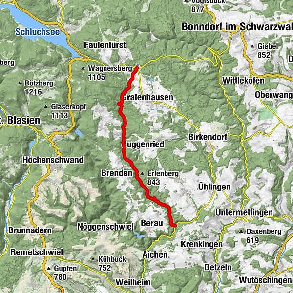
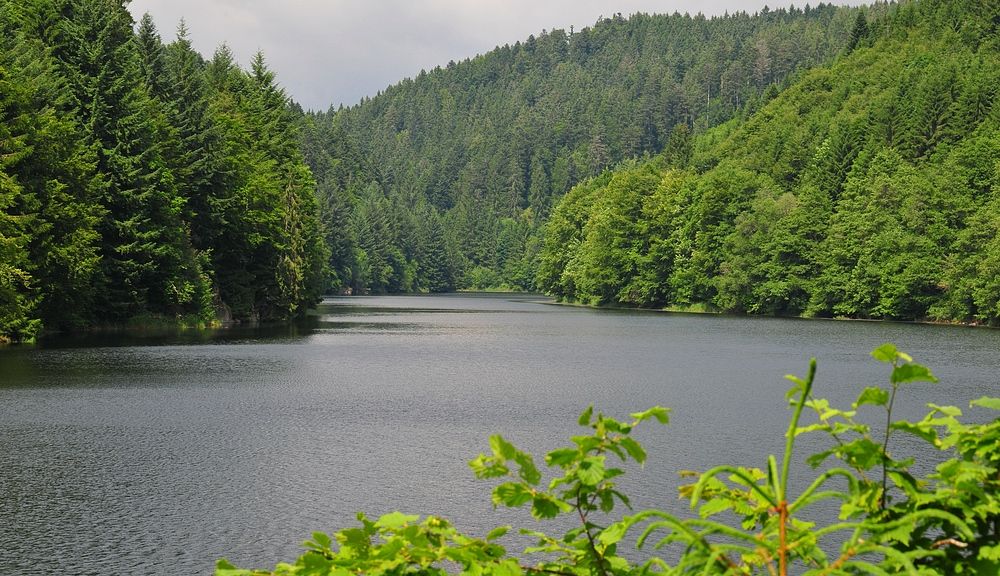
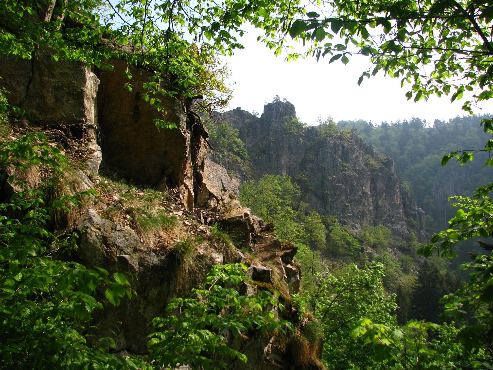
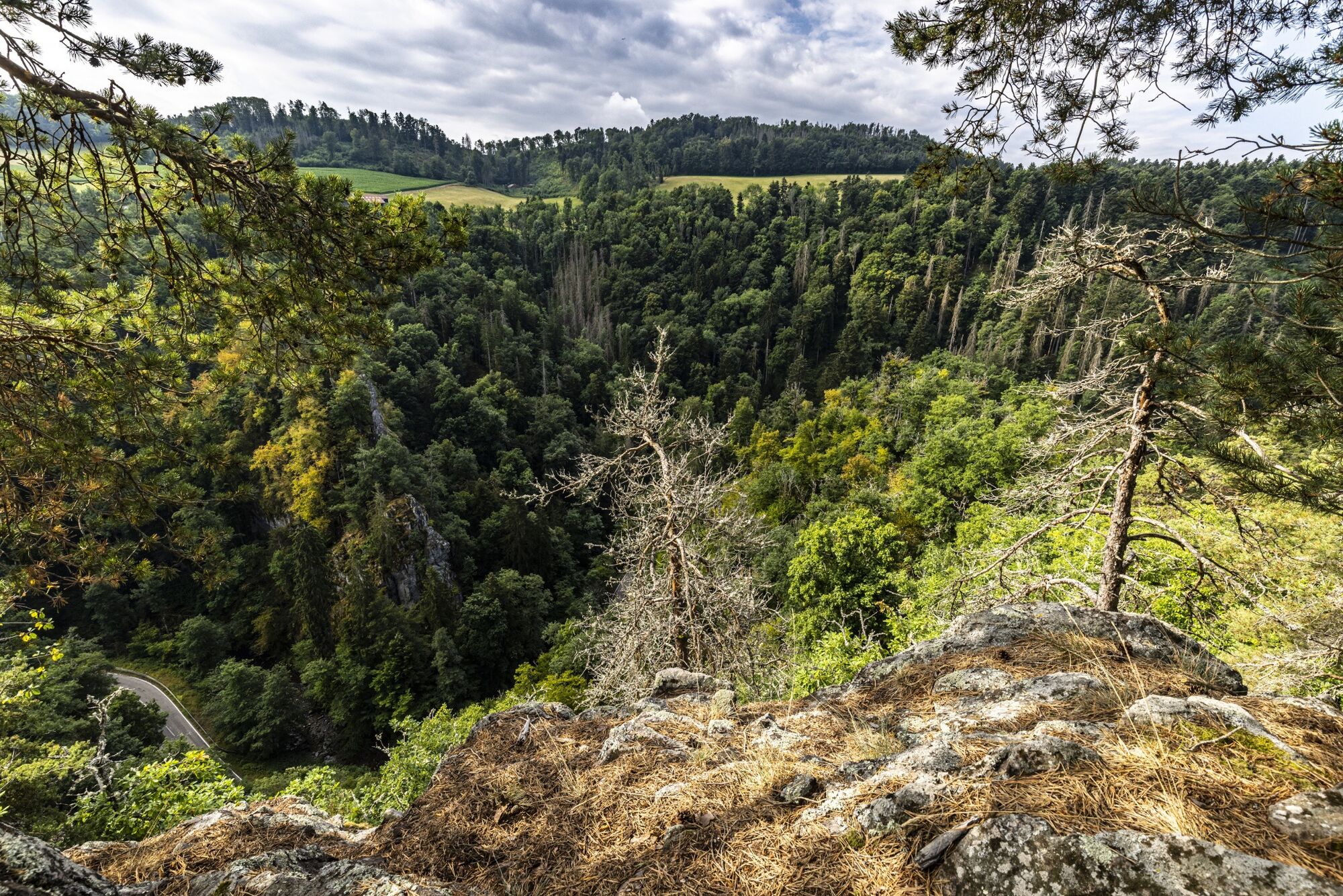
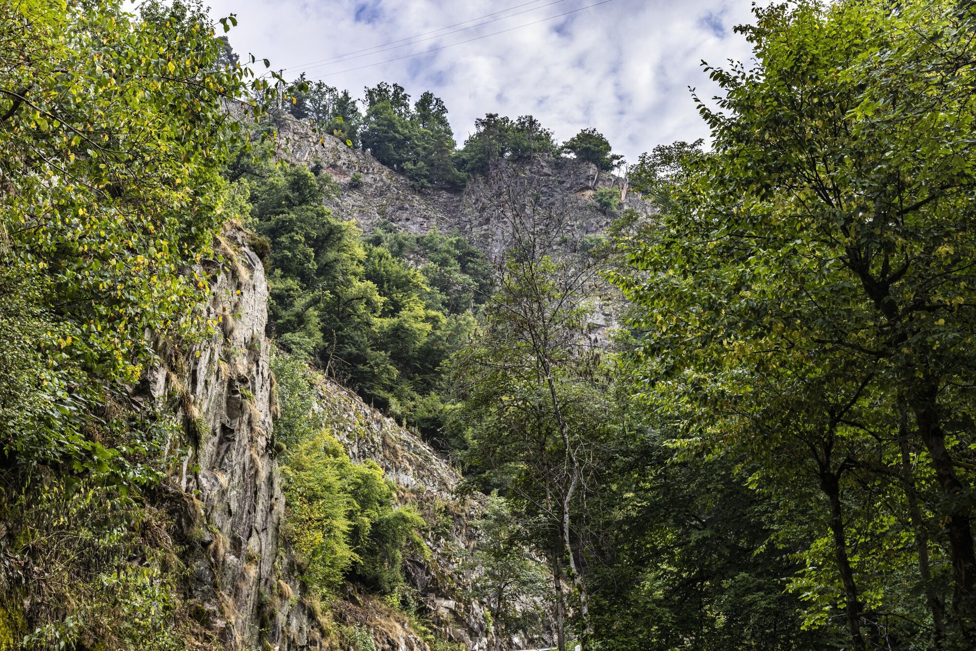
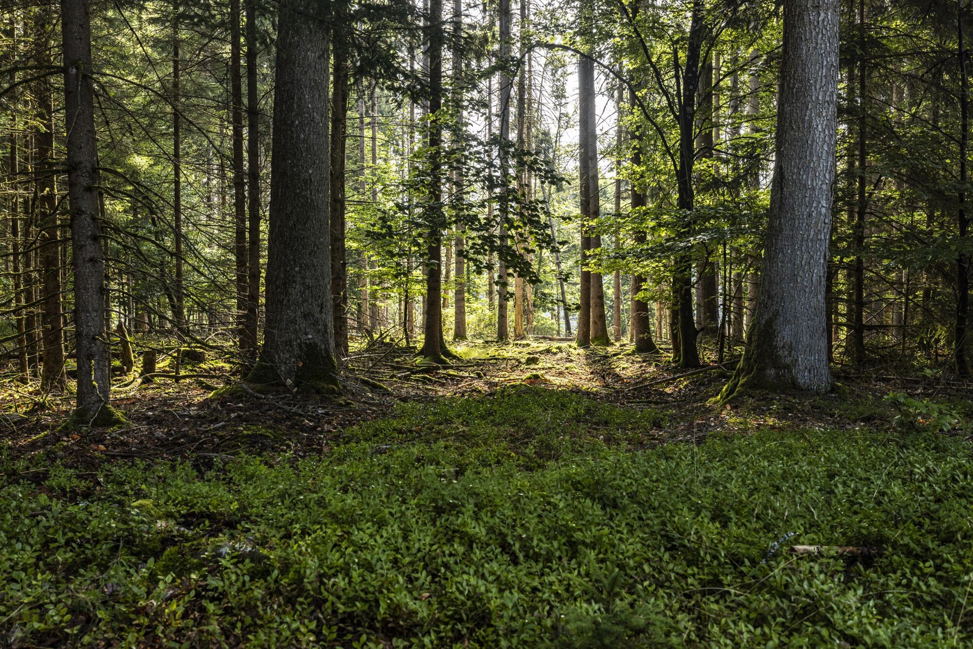
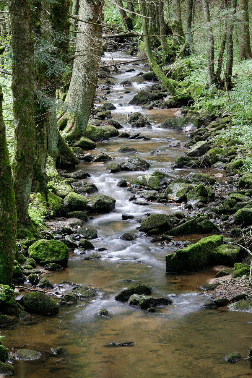
The delightful day hike along the "Mittelweg" connects a variety of landscape impressions from the plateau at "Grafenhausen", through the quiet "Mettmatal" valley to the alpine world of the "Schlüchttal".
- Obtiažnosť
-
ťažká
- Hodnotenie
-
- Trasa
-
Brünlisbach0,3 kmWasserfall der Mettma13,5 km
- Najlepšia sezóna (ročné obdobie)
-
janfebmaraprmájjúnjúlaugsepoktnovdec
- Najvyšší bod
- 964 m
- Cieľová destinácia
-
Haltestelle Ühlingen-Birkendorf, Witznau
- Profil nadmorskej výšky
-
 © outdooractive.com


- Autor
-
Prehliadka On the middle way through the Mettmatal používa outdooractive.com na stránke ..
GPS Downloads


Všeobecné informácie
Fauna
S výhľadmi
Ďalšie prehliadky v regiónoch
-
SchaffhauserLand
1027
-
Hochrhein
753
-
Grafenhausen
231