

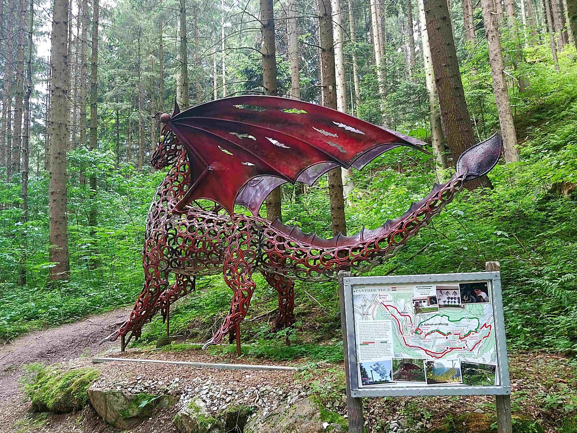
© TVB Oststeiermark - Christa Pollhammer

© Gasthaus Karl-Wirt - Bernhard Häusler

© TVB Oststeiermark - Christine Pollhammer

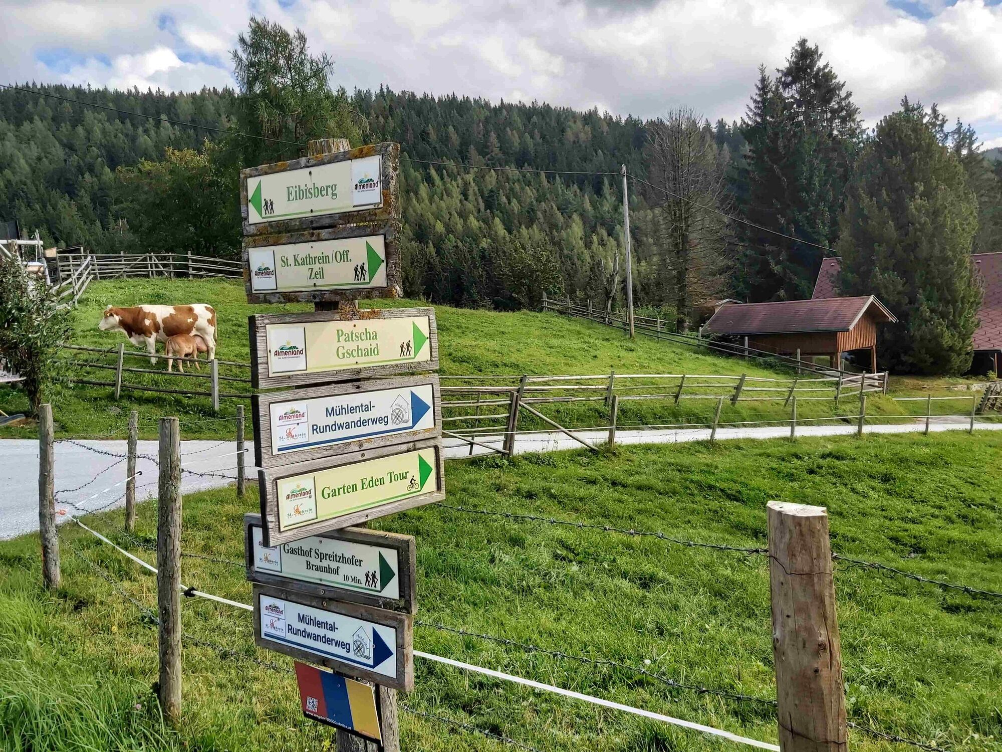
© TVB Oststeiermark - Christine Pollhammer

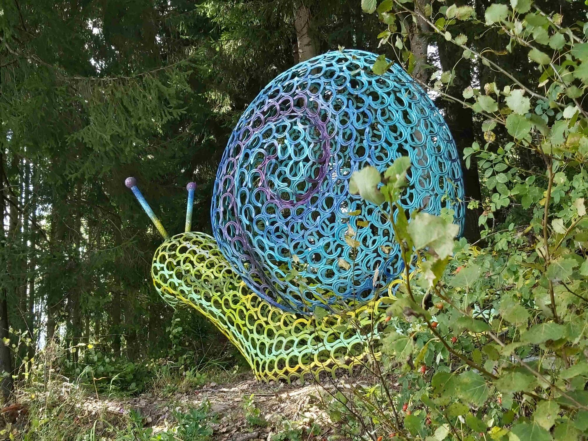
© TVB Oststeiermark - Christine Pollhammer

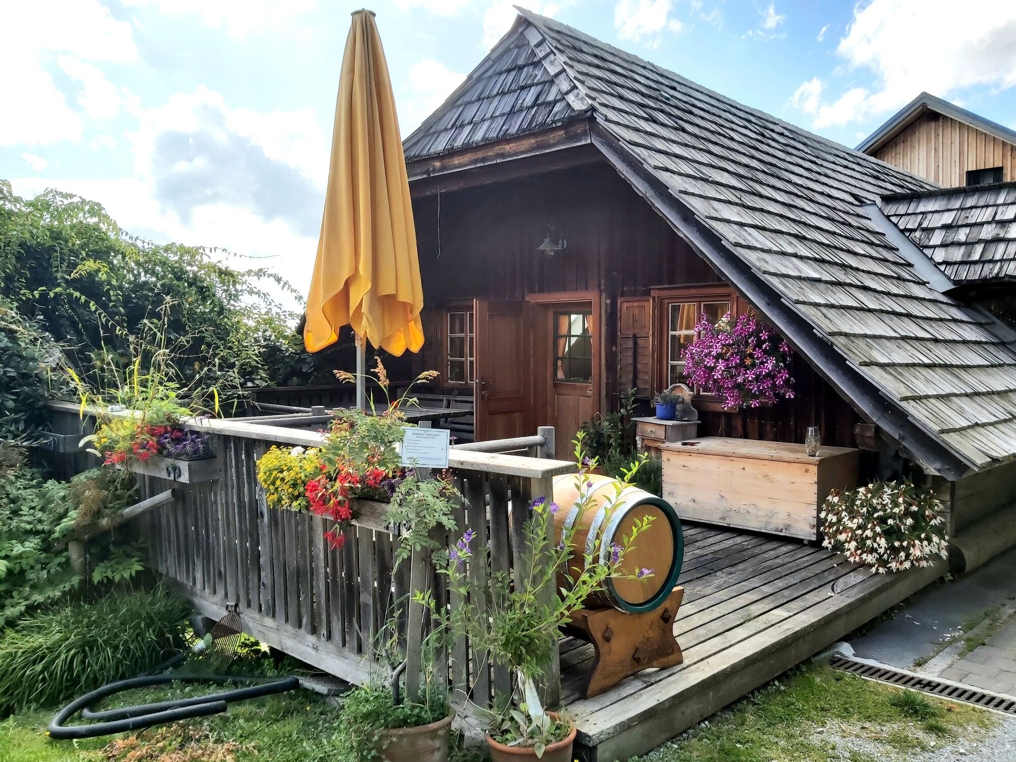
© TVB Oststeiermark - Christine Pollhammer

© TVB Oststeiermark - Christine Pollhammer

© TVB Oststeiermark - Christa Pollhammer

© TVB Oststeiermark - Christine Pollhammer

© TVB Oststeiermark - Christine Pollhammer
- Stručný popis
-
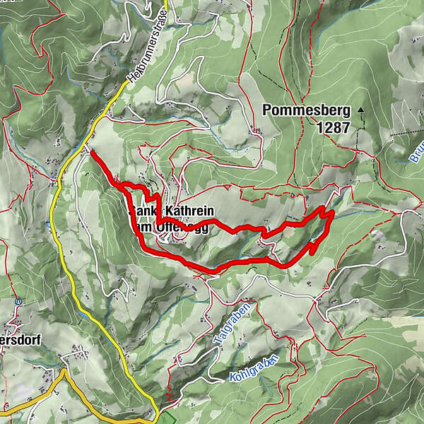
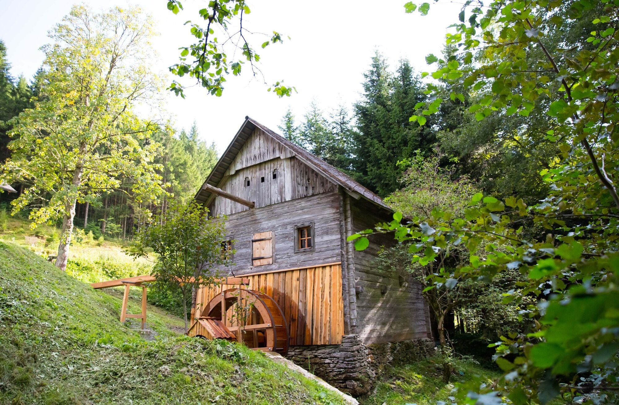
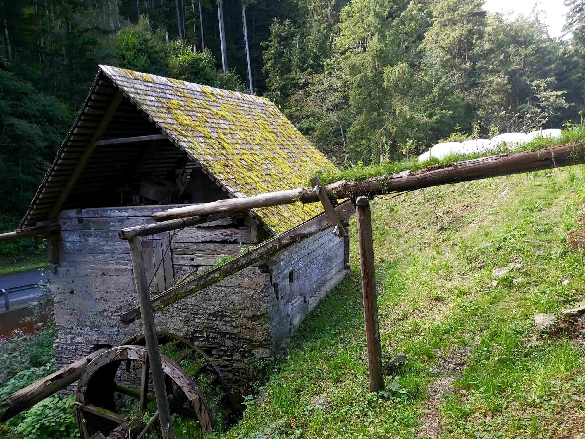
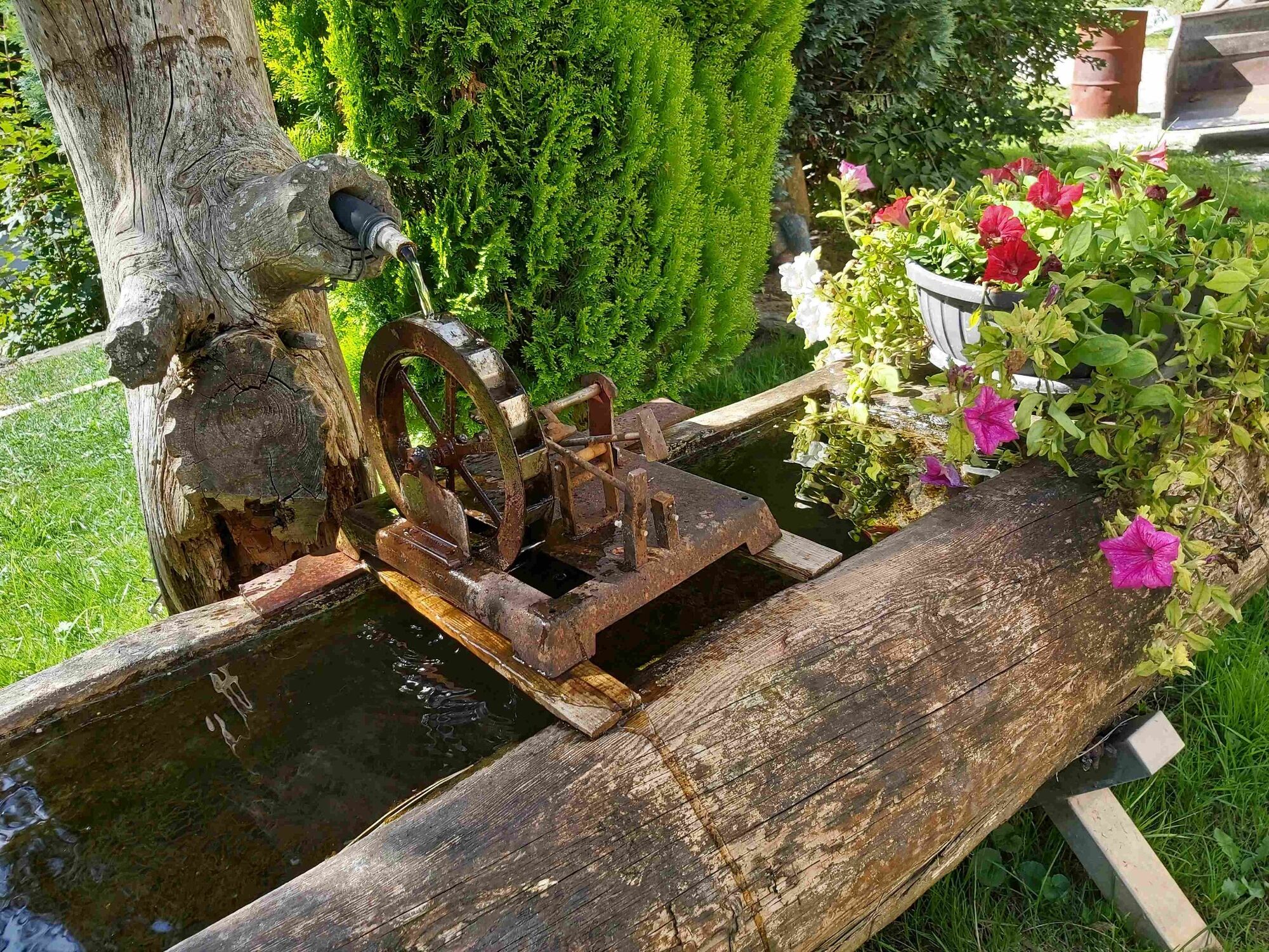
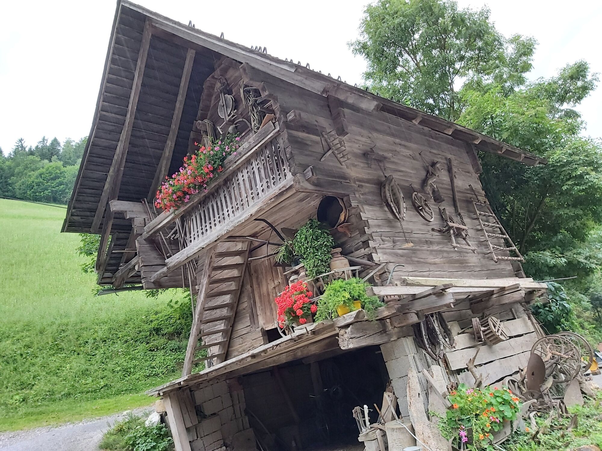
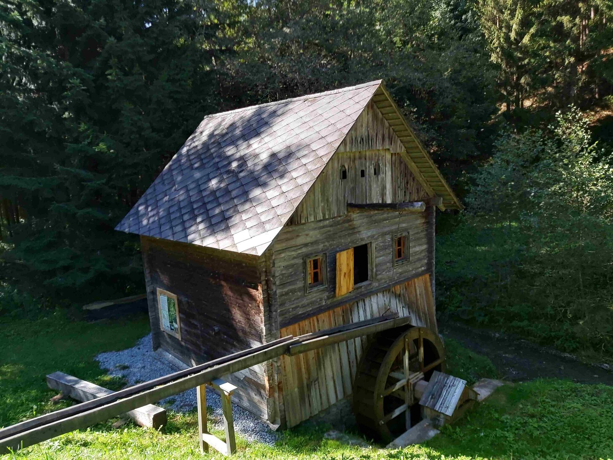
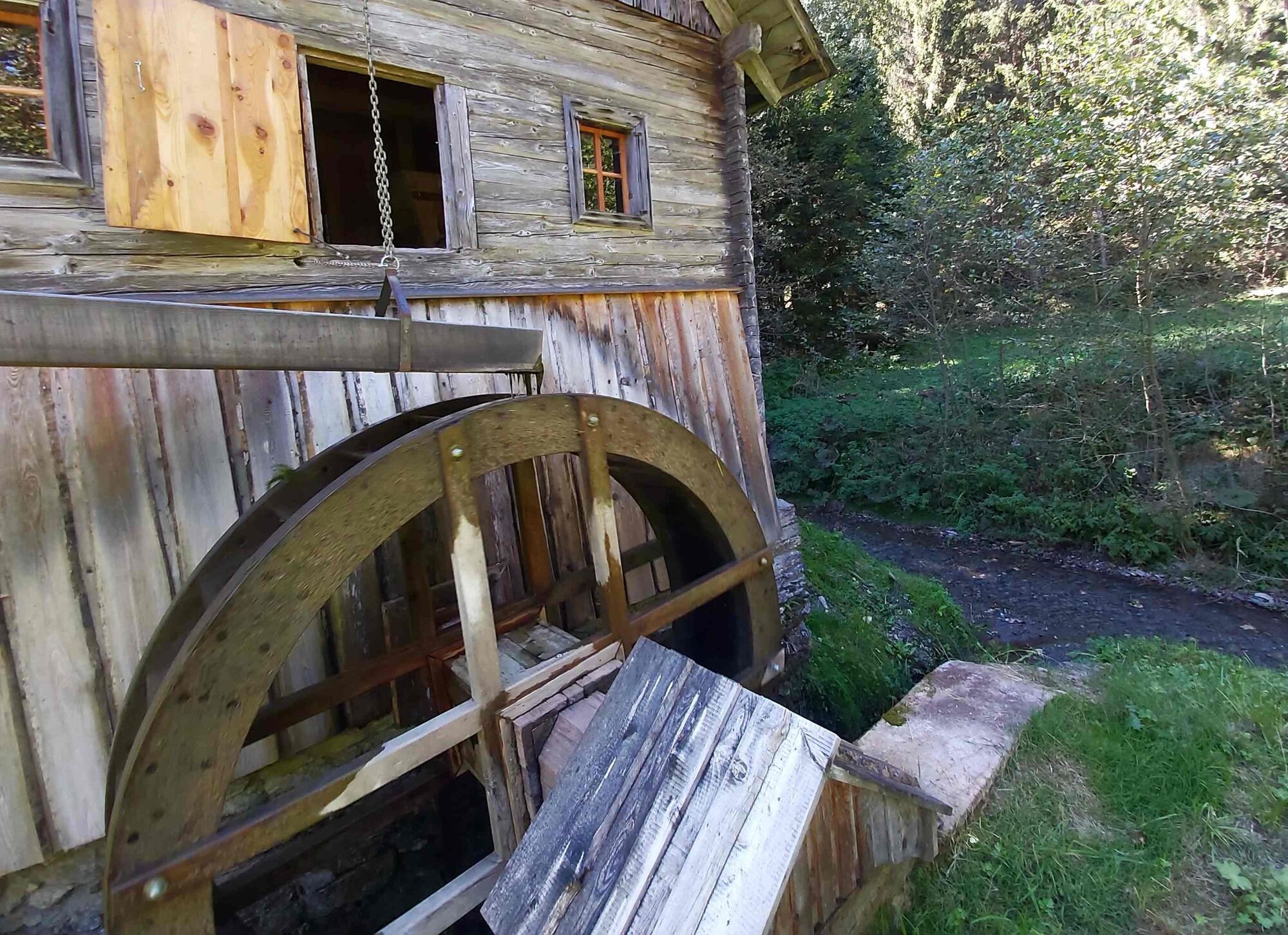
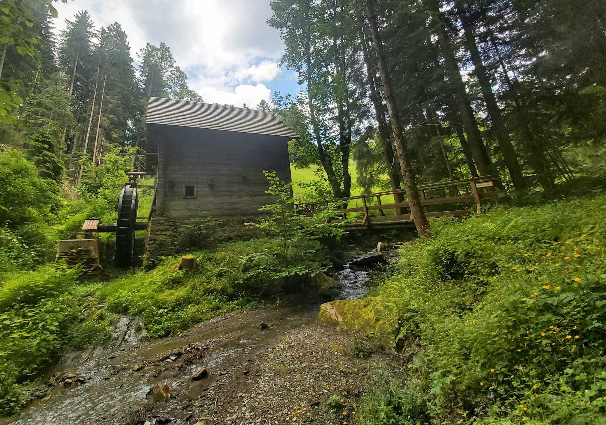
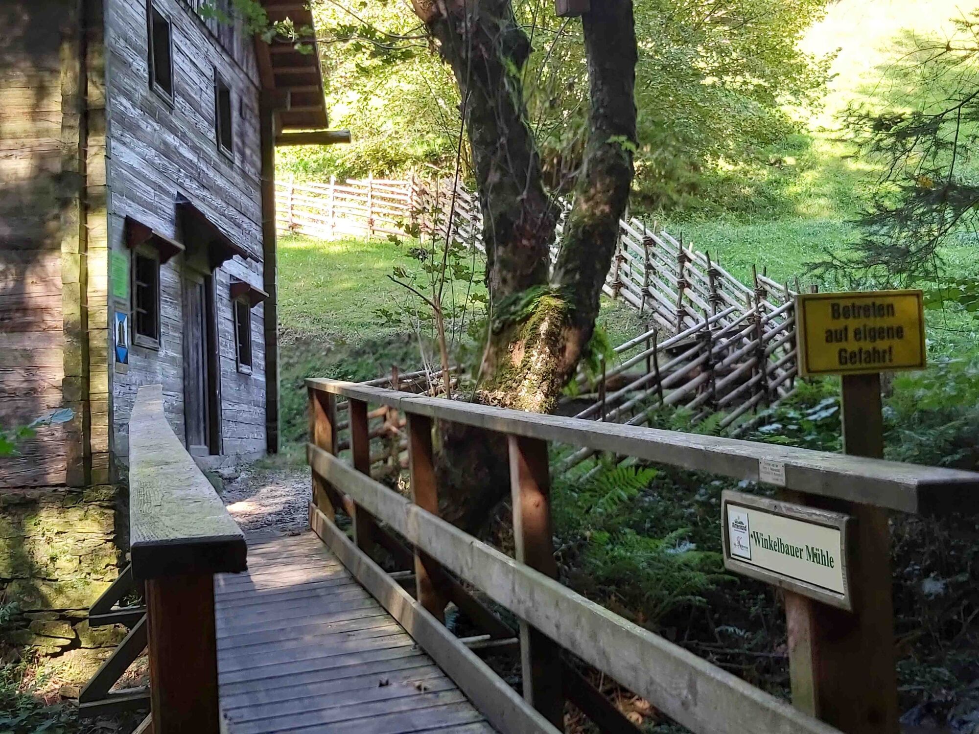
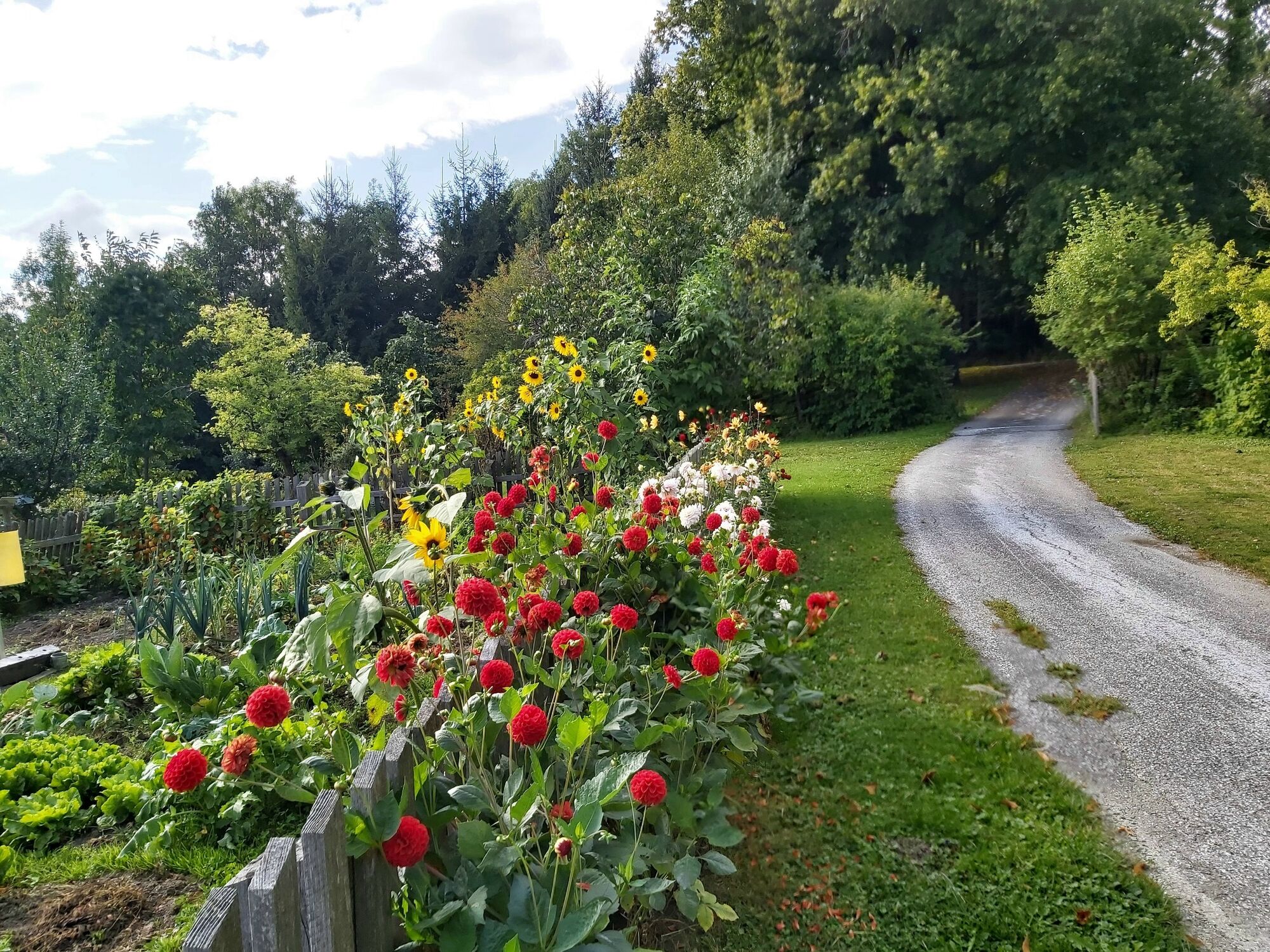
The Mühlental hiking trail leads through the Lambach valley, where there were once 102 mills. Today, only two of them are still intact.
- Obtiažnosť
-
stredná
- Hodnotenie
-
- Trasa
-
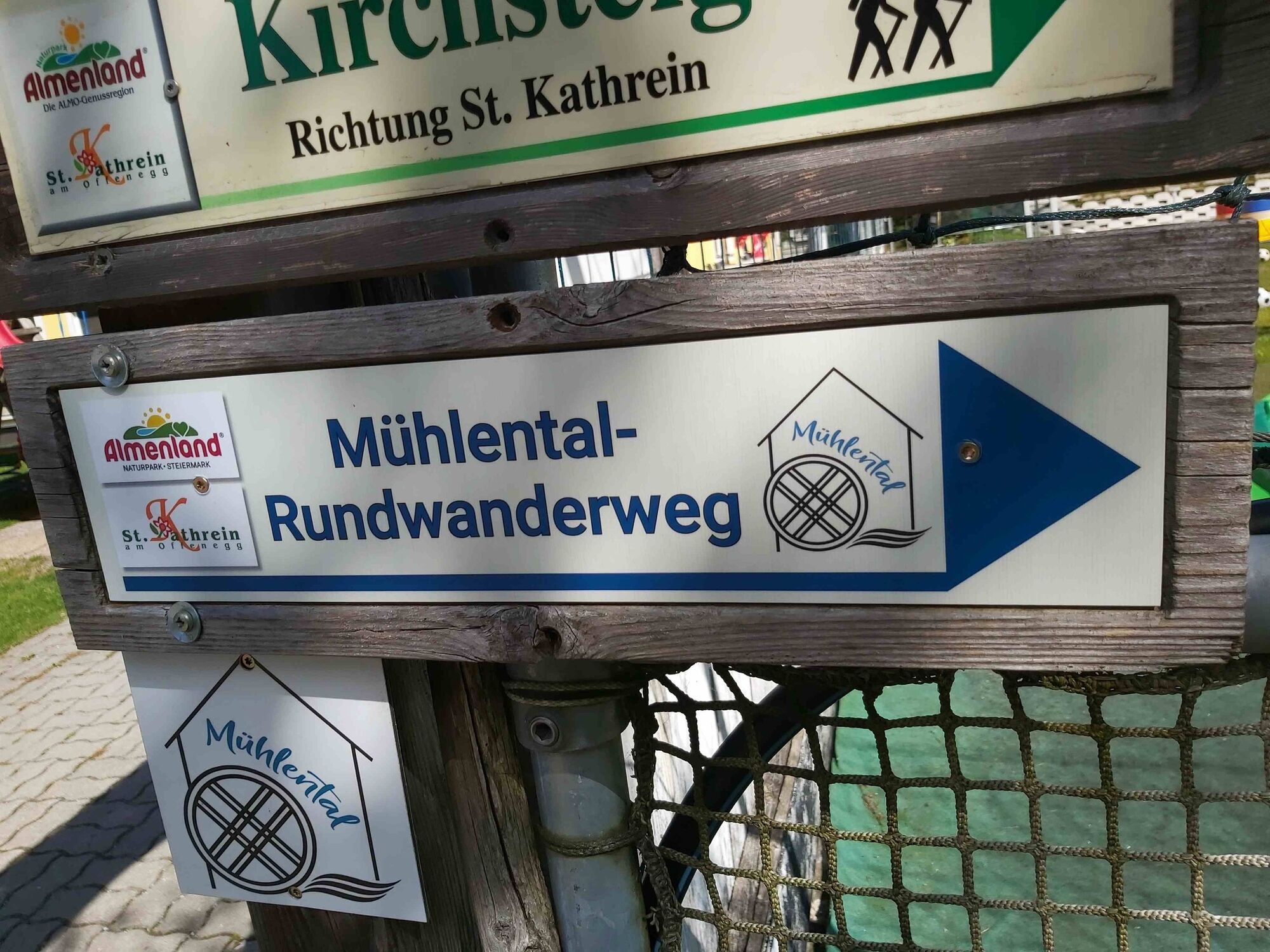
KarlwirtSchmied in der WeizSankt Kathrein am Offenegg1,7 kmLambach1,7 kmMühlental2,9 kmLindenstüberl6,0 kmLandgasthof Steinhauser6,7 kmSankt Kathrein am Offenegg6,9 kmDorf6,9 kmSchmied in der Weiz8,7 kmKarlwirt8,7 km
- Najlepšia sezóna (ročné obdobie)
-
janfebmaraprmájjúnjúlaugsepoktnovdec
- Najvyšší bod
- 1.072 m
- Cieľová destinácia
-
Karl-Wirt, Schmied in der Weiz
- Profil nadmorskej výšky
-


-

-
AutorPrehliadka Mühlental - circular trail, St. Kathrein/O. používa outdooractive.com na stránke ..
GPS Downloads


Všeobecné informácie
Zastávka s občerstvením
Kultúra/Historické stránky
Flora
S výhľadmi
Ďalšie prehliadky v regiónoch
-
Hochsteiermark
4066
-
Naturpark Almenland
1766
-
St. Kathrein am Offenegg
476


