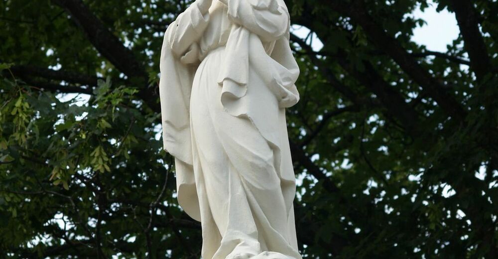
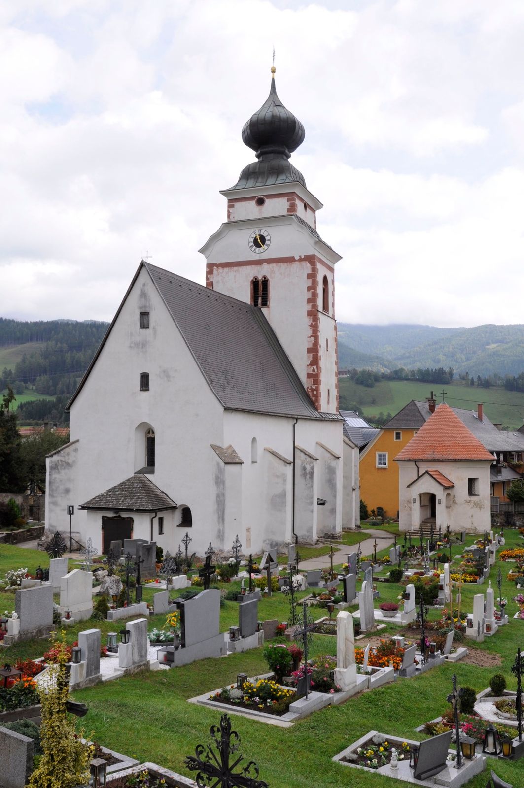
© www.maria-buch-feistritz.at/maria-buch-feistritz - Monika Gschwandner
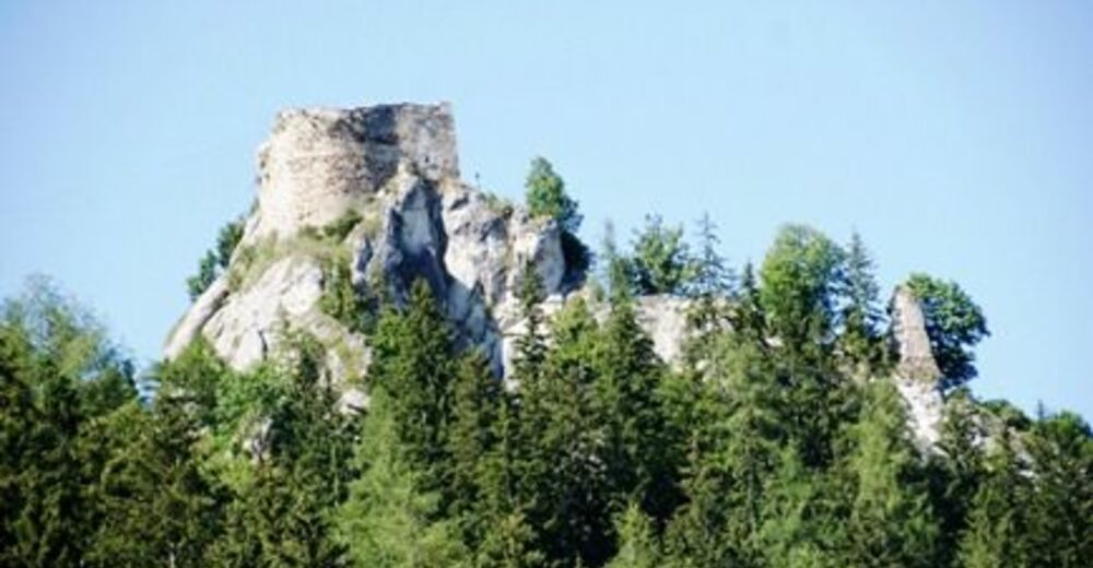
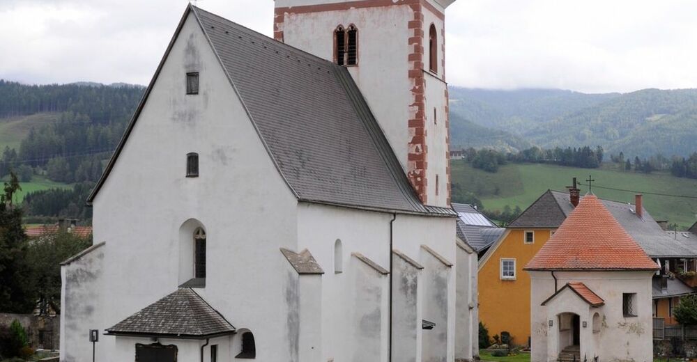
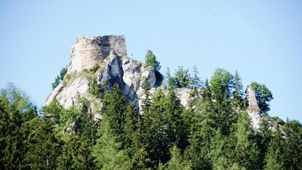
© www.wehrbauten.at/stmk/eppenstein/slideshow.html - Monika Gschwandner
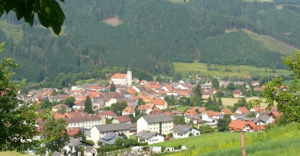
© Norbert Cech - Monika Gschwandner
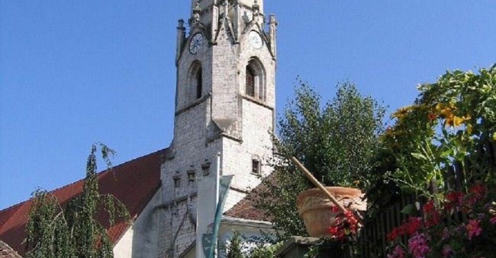
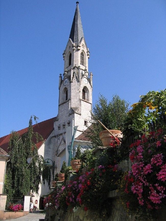
© www.kath-kirche-kaernten.at/pfarren/pfarre/C3215/ - Monika Gschwandner
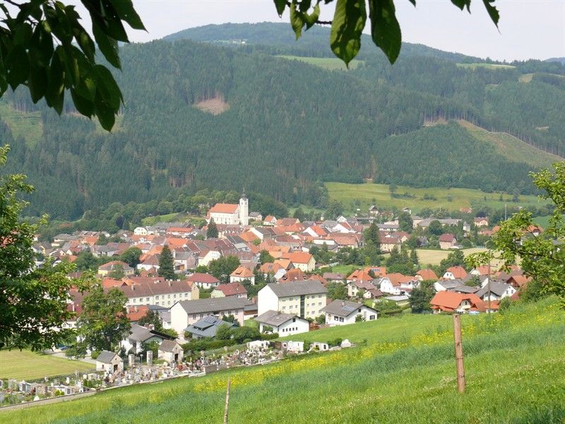
© www.carinthia.at/en/Articles/View/223 - Monika Gschwandner


- Stručný popis
-
Variante 3. Tagesetappe Benediktweg Nord
Weißkirchen/Maria Buch - Reichenfels
Länge: 23,4 km
Gehzeit: ca. 8 Stunden
- Obtiažnosť
-
stredná
- Hodnotenie
-
- Trasa
-
Wallfahrtskirche Maria Buch0,0 kmGh.Zechner0,0 kmMaria Buch0,1 kmGh.Götschl0,1 kmHauserbauerkapelle1,1 kmBaierdorf1,2 kmMühldorf3,5 kmEppenstein4,6 kmKathal9,1 kmKathal in Obdachegg10,7 kmPfarrkirche St. Ägyd14,9 kmJohanneskapelle14,9 kmObdach15,0 kmObdacher Sattel (955 m)18,7 kmObdacher Sattel (955 m)18,9 kmReichenfels (809 m)23,3 kmHl. Jakobus d. Ältere23,3 km
- Najlepšia sezóna (ročné obdobie)
-
janfebmaraprmájjúnjúlaugsepoktnovdec
- Najvyšší bod
- 972 m
- Cieľová destinácia
-
Bad St. Leonhard im Lavanttal
- Profil nadmorskej výšky
-


- Autor
-
Prehliadka N03 Benediktweg Variante: Weißkirchen/Maria Buch - Reichenfels používa outdooractive.com na stránke ..
GPS Downloads


Ďalšie prehliadky v regiónoch
-
Erlebnisregion Murtal
1782
-
Steirisches Zirbenland
711
-
Obdach
185