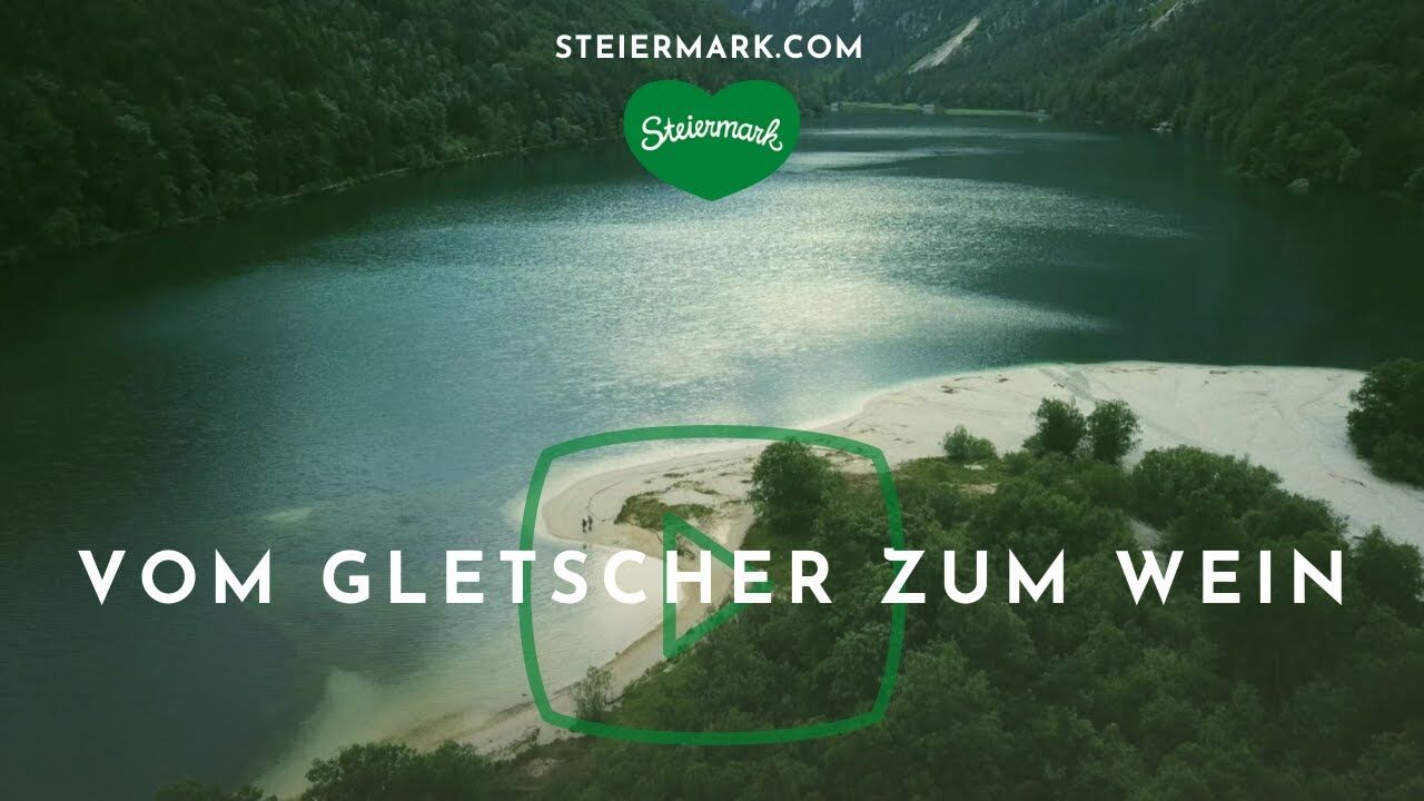
Stage 18 From Glacier to Wine South Route Weinebene - Deutschlandsberg


© Lupi Spuma - Brigitte Kügerl

© Steiermark - Das Grüne Herz

© Steiermark Tourismus/Harry Schiffer - Harry Schiffer

© Steiermark Tourismus/Herbert Raffalt - Herbert Raffalt

© Steiermark Tourismus/Leo Himsl - Leo Himsl

© Südsteiermark - Brigitte Kügerl

© Steiermark Tourismus/Herbert Raffalt - Herbert Raffalt


© Steiermark Tourismus/Herbert Raffalt - Herbert Raffalt


- Stručný popis
-
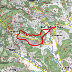
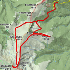
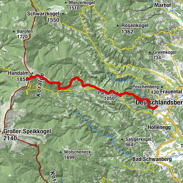
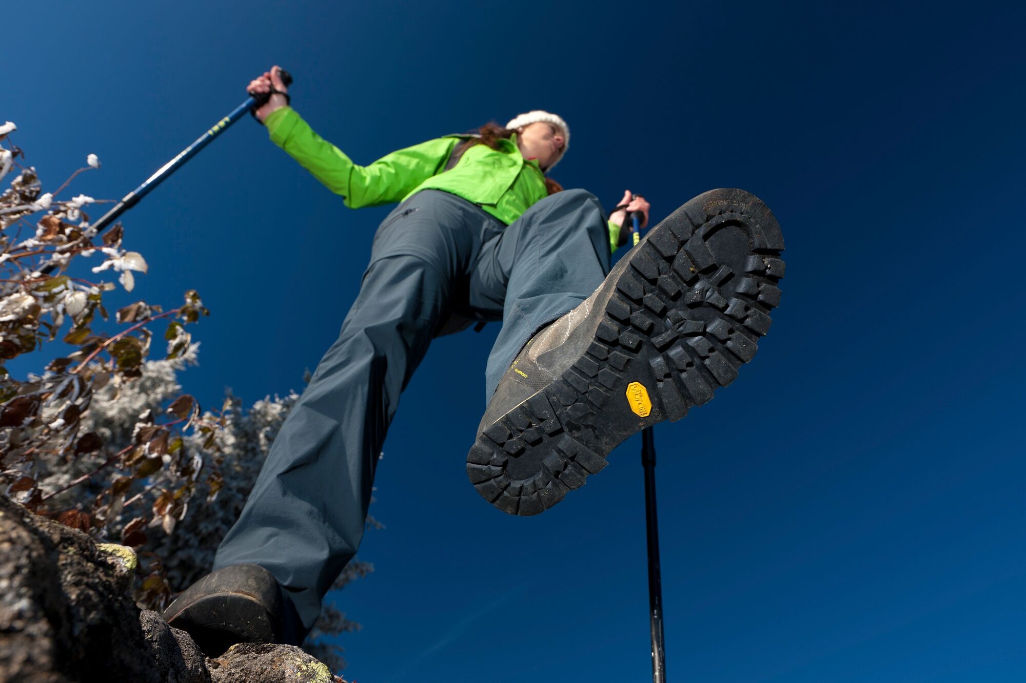
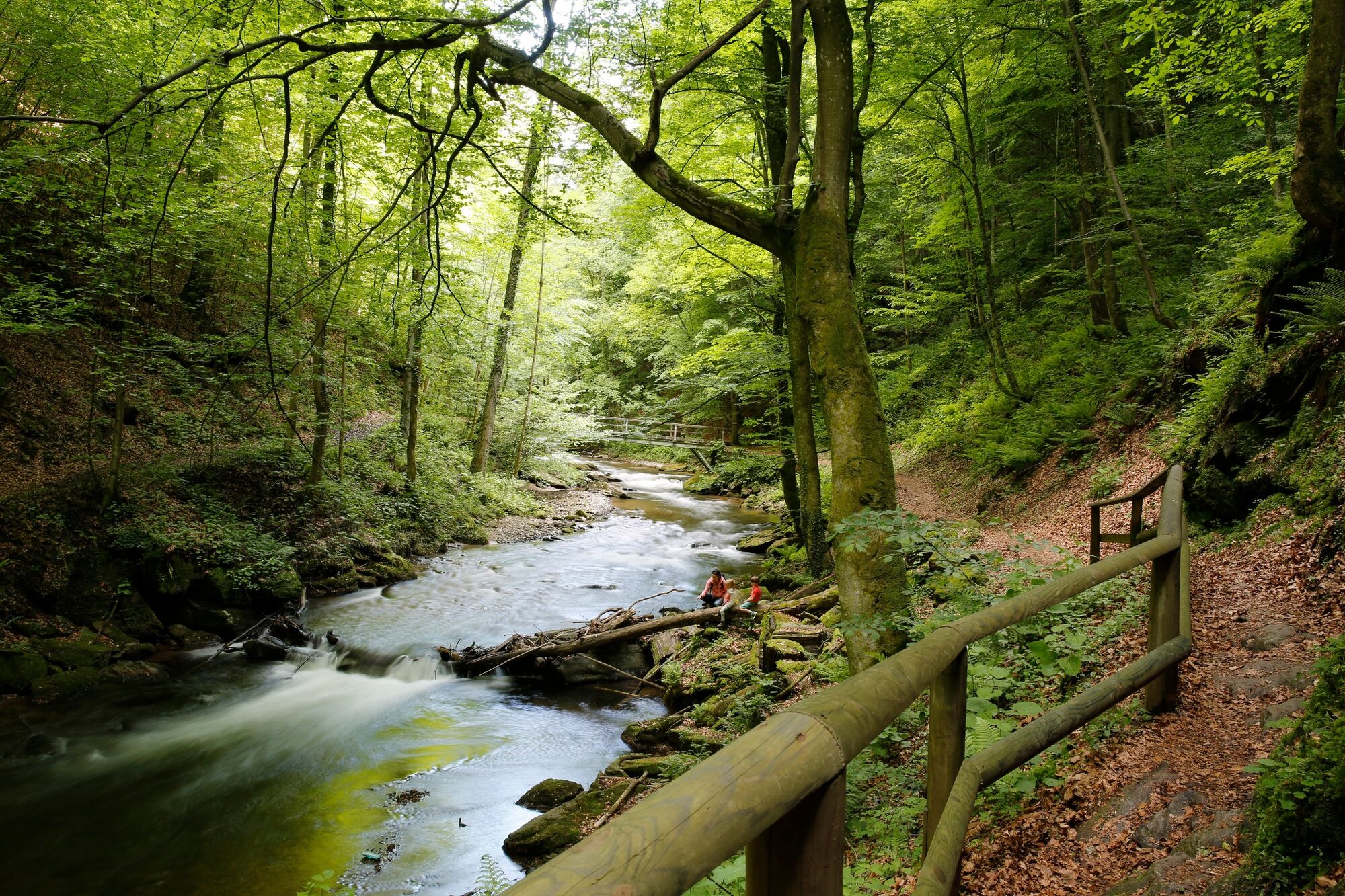
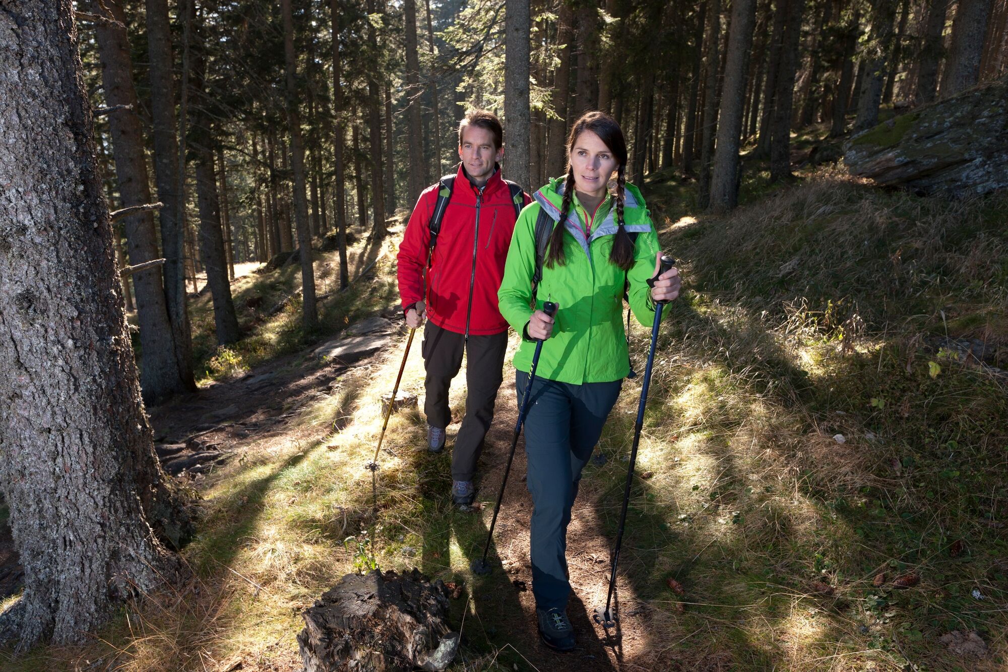
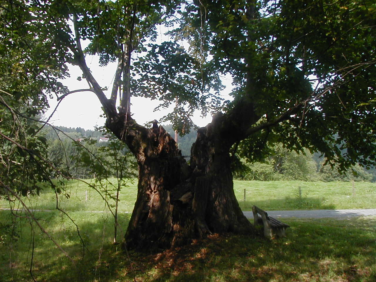
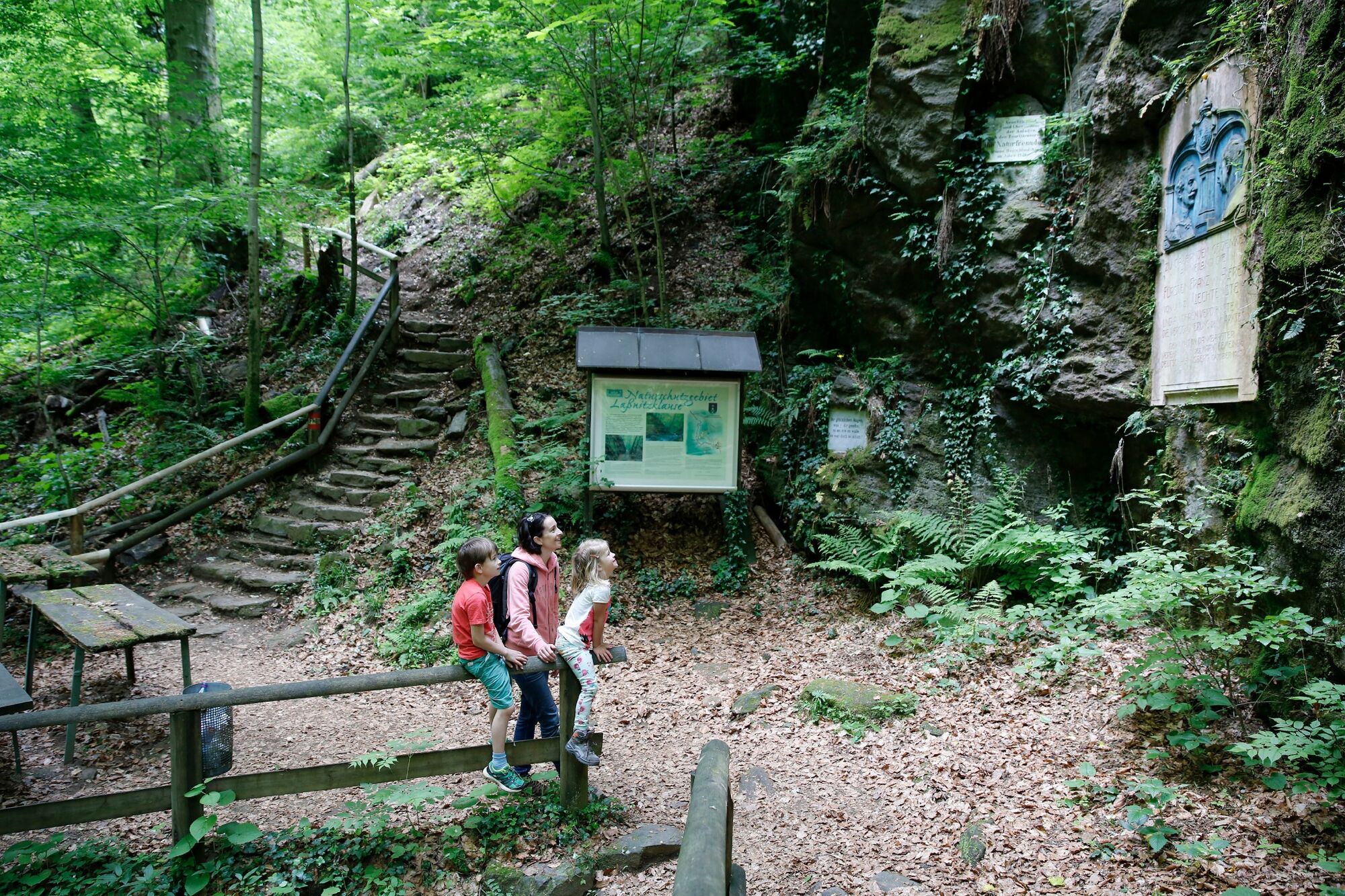
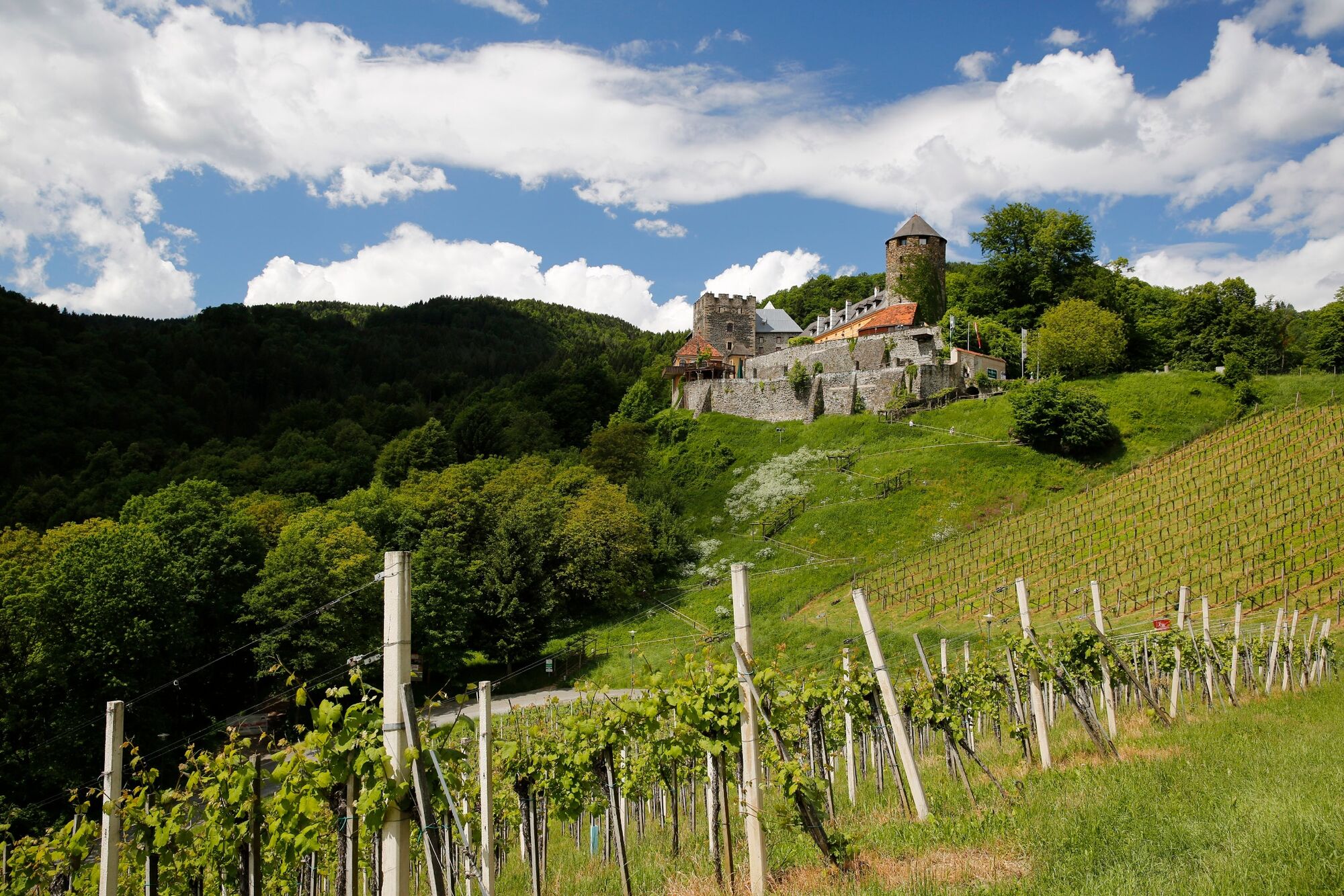
A rather long, but almost always only slightly downhill stage of the hiking route "From glacier to wine". From the Weinebene with the Gösler Hütte it goes over the Moserkogel and the Glashüttenkogel via Trahütten and through the Natura 2000 Europe protected area Deutschlandsberger Klause to Deutschlandsberg, the capital of the Schilcherland in the southwest of Styria.
- Obtiažnosť
-
stredná
- Hodnotenie
-
- Trasa
-
Gösler HüttePauluskapelle0,6 kmMoserkogel (1.745 m)2,0 kmGlashüttenkogel (1.758 m)3,0 kmHl. Nikolaus14,5 kmTrahütten14,5 kmDeutschlandsberg21,2 km
- Najlepšia sezóna (ročné obdobie)
-
janfebmaraprmájjúnjúlaugsepoktnovdec
- Najvyšší bod
- 1.767 m
- Cieľová destinácia
-
Deutschlandsberg
- Profil nadmorskej výšky
-


-

-
AutorPrehliadka Stage 18 From Glacier to Wine South Route Weinebene - Deutschlandsberg používa outdooractive.com na stránke ..
GPS Downloads


Všeobecné informácie
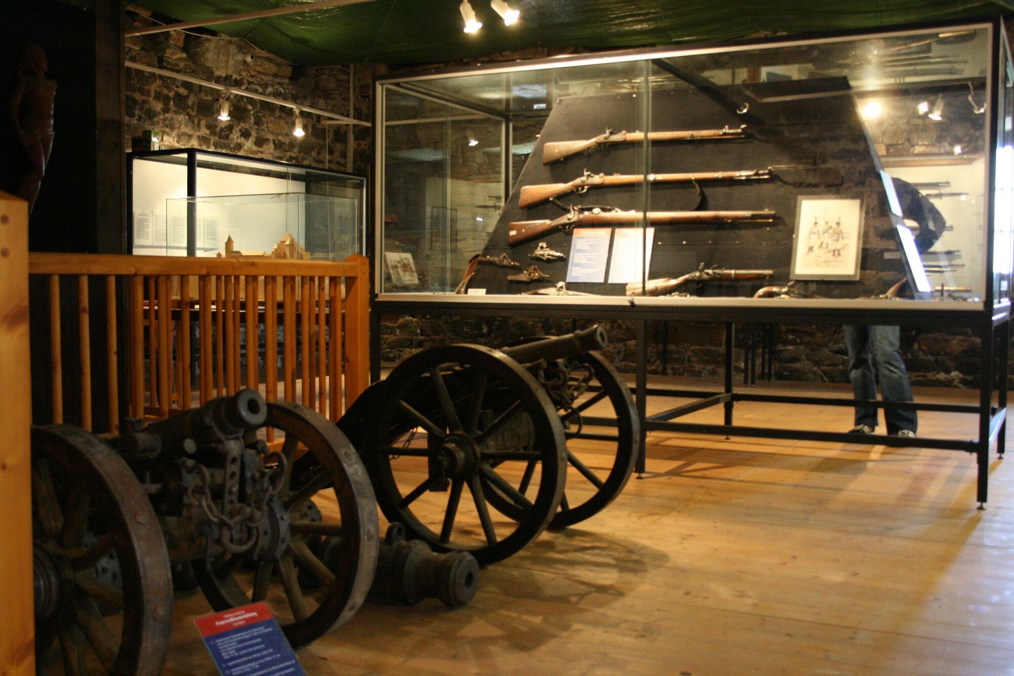
Kultúra/Historické stránky
S výhľadmi
Ďalšie prehliadky v regiónoch
-
Erlebnisregion Graz
2783
-
Schilcherland Steiermark
1100
-
Reinischkogel
314